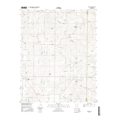
2017 Map of Everton
USGS Topo · Published 2017About this map
Everton and the surrounding Ozark foothills of Boone Co are meticulously documented in this detailed 21st-century landscape survey. The area is defined by a dense network of hollows and ridges, including Keele Hollow, Cowvat Hollow, and Pleasant Ridge, which shape the drainage patterns of waterways like Crooked Creek and Hog Cr. This geography heavily influenced the historical settlement patterns seen in the small communities of Valley Springs, Olvey, and Harmon, as well as the placement of numerous family and community burial grounds such as Britton Cem, Hampton Cem, and Warner Cem.
Find a feature on this map
111 named features on this map. Tap any name to fly to it.
Don’t see what you’re looking for? This feature index may not catch every label — zoom into the map to look around manually.
Map Details
Editions of this 2017 Everton Map
This is the sole edition of this map. No revisions or reprints were ever made.
Other maps of this area

1893 · Yellville
USGS Topo · 1:125,000

1903 · Yellville
USGS Topo · 1:125,000

1904 · Harrison
USGS Topo · 1:125,000

1905 · Harrison
USGS Topo · 1:125,000

1905 · Yellville
USGS Topo · 1:125,000

1929 · Yellville
USGS Topo · 1:125,000

1945 · Harrison
USGS Topo · 1:250,000

1949 · Harrison
USGS Topo · 1:250,000

1954 · Harrison
USGS Topo · 1:250,000

1958 · Harrison
USGS Topo · 1:250,000