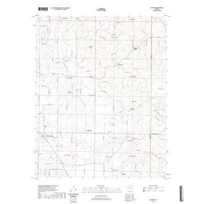
2020 Map of Everton
USGS Topo · Published 2020About this map
Everton and Valley Springs anchor this portion of the Ozark plateau, where the landscape is defined by a dense network of hollows and creek drainages. The area is notable for its high concentration of family and community burial grounds, such as Starkey Cem, Britton Cem, and Warner Cem, which provide significant genealogical data for the region. The map reveals a transition from the elevated peaks of Crawford Mtn to the flatter expanses of Kings Prairie. Smaller settlements like Olvey, Harmon, and Rally Hill are connected by a web of local roads including Brittain Cemetery Rd and Floyd Lee Rd E, following the contours of the land around Crooked Creek and Hog Cr. The distribution of these rural centers and cemeteries suggests a long-standing pattern of dispersed agricultural settlement across the Boone Co and Marion Co border.
Find a feature on this map
123 named features on this map. Tap any name to fly to it.
Don’t see what you’re looking for? This feature index may not catch every label — zoom into the map to look around manually.
Map Details
Editions of this 2020 Everton Map
This is the sole edition of this map. No revisions or reprints were ever made.
Other maps of this area

1893 · Yellville
USGS Topo · 1:125,000

1903 · Yellville
USGS Topo · 1:125,000

1904 · Harrison
USGS Topo · 1:125,000

1905 · Harrison
USGS Topo · 1:125,000

1905 · Yellville
USGS Topo · 1:125,000

1929 · Yellville
USGS Topo · 1:125,000

1945 · Harrison
USGS Topo · 1:250,000

1949 · Harrison
USGS Topo · 1:250,000

1954 · Harrison
USGS Topo · 1:250,000

1958 · Harrison
USGS Topo · 1:250,000