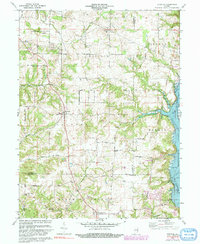
1972 Map of Everton
USGS Topo · Published 1991About this map
Everton serves as a central hub for this rural stretch of East Central Indiana, where the landscape is defined by the transition from upland farm plots to the deep-set drainage of the East Fork Whitewater River. The eastern boundary of the map is dominated by the northern reaches of Brookville Lake, a significant reservoir that reshaped the local topography and forced the relocation or adaptation of riverside communities.
Find a feature on this map
31 named features on this map. Tap any name to fly to it.
Don’t see what you’re looking for? This feature index may not catch every label — zoom into the map to look around manually.
Map Details
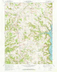
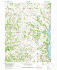
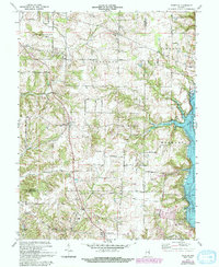
Editions of this 1972 Everton Map
4 editions found
Other maps of this area

1915 · College Corner
USGS Topo · 1:48,000

1915 · Harrison
USGS Topo · 1:48,000

1918 · College Corner
USGS Topo · 1:62,500

1948 · Fairfield
USGS Topo · 1:24,000

1953 · Cincinnati
USGS Topo · 1:250,000

1955 · Mount Carmel
USGS Topo · 1:24,000

1956 · Everton
USGS Topo · 1:24,000

1956 · Alpine
USGS Topo · 1:24,000

1956 · Brownsville
USGS Topo · 1:24,000

1956 · Metamora
USGS Topo · 1:24,000