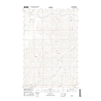
2017 Map of Ewan
USGS Topo · Published 2017About this map
Ewan and the small settlement of Pleasant Valley anchor this portion of Whitman County, set against a landscape defined by the deep incisions of the Palouse River and its numerous tributaries. The map reveals an intricate network of drainage systems, including the serpentine paths of Cottonwood Cr and Kamiache Cr as they flow through the northern sections. Rural life is reflected in the naming of local landmarks such as Stevens Lake and a series of family-named roads like Harry Pierce Rd and Gordon Hamilton Rd that weave through the sectioned agricultural land.
Find a feature on this map
33 named features on this map. Tap any name to fly to it.
Don’t see what you’re looking for? This feature index may not catch every label — zoom into the map to look around manually.
Map Details
Editions of this 2017 Ewan Map
This is the sole edition of this map. No revisions or reprints were ever made.
Other maps of this area

1950 · La Crosse
USGS Topo · 1:62,500

1950 · Endicott
USGS Topo · 1:62,500

1952 · La Crosse
USGS Topo · 1:62,500

1955 · Pullman
USGS Topo · 1:250,000

1955 · Spokane
USGS Topo · 1:250,000

1958 · Spokane
USGS Topo · 1:250,000

1958 · Pullman
USGS Topo · 1:250,000

1964 · Lamont NE
USGS Topo · 1:24,000

1964 · St. John
USGS Topo · 1:24,000

1964 · Rock Lake
USGS Topo · 1:24,000