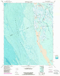
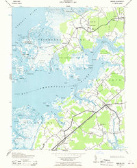
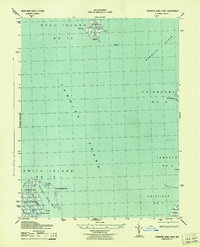
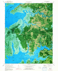
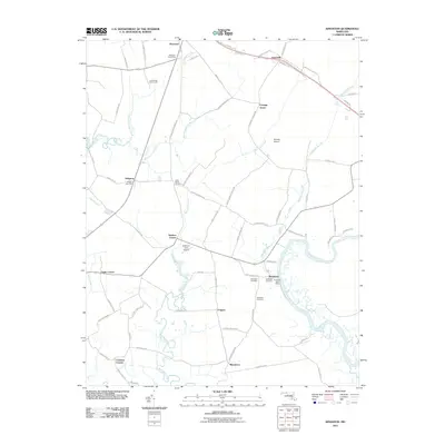
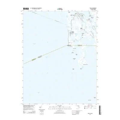
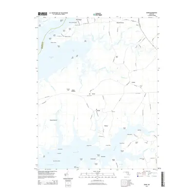
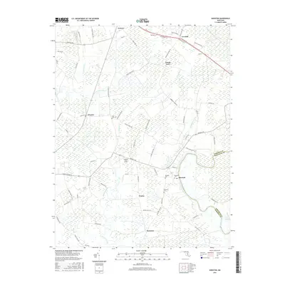
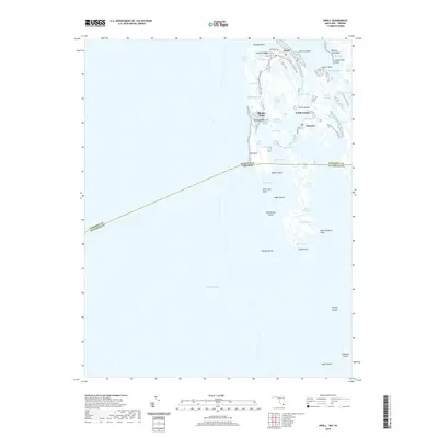
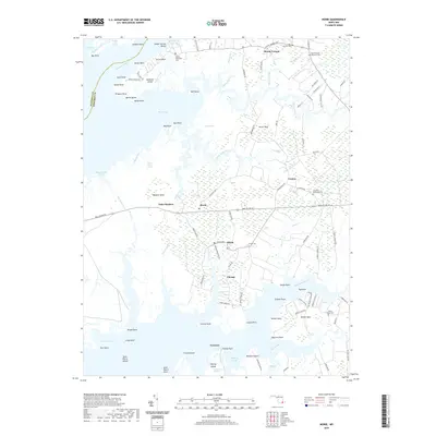
1968 Map of Ewell
USGS Topo · Published 1987About this map
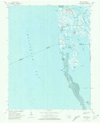
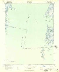
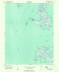
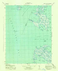
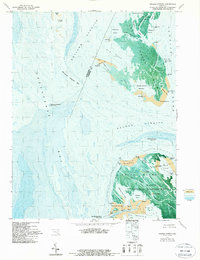
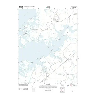
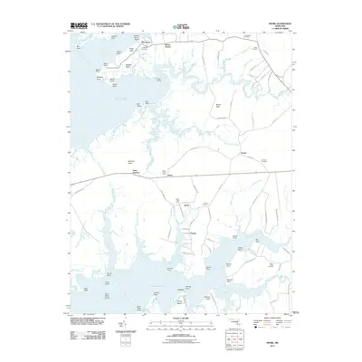
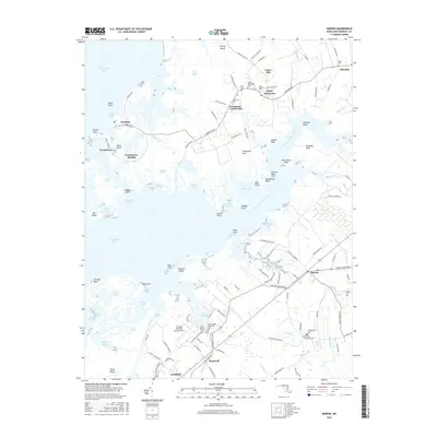
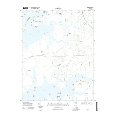
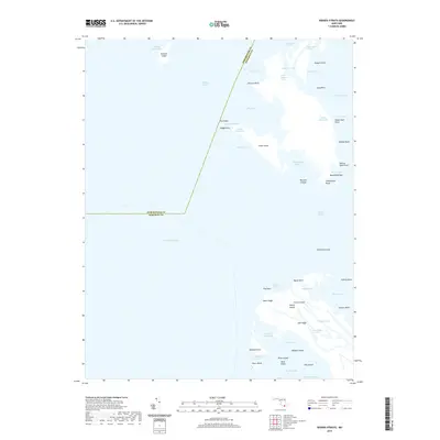
Smith Island anchors this detailed bathymetric and topographic study, revealing the complex water-dependent life of Somerset County, Maryland. The three primary settlements—Ewell, Rhodes Point, and Tylerton—are shown as isolated outposts connected by a intricate web of channels including Big Thorofare, The Canal, and Tyler Ditch. This 1960s perspective, updated with mid-1980s bathymetry, captures the island's landscape before decades of modern erosion took their toll, particularly visible in the marshes of the Martin National Wildlife Refuge.
Find a feature on this map
62 named features on this map. Tap any name to fly to it.
Don’t see what you’re looking for? This feature index may not catch every label — zoom into the map to look around manually.
Map Details
Editions of this 1968 Ewell Map
2 editions found
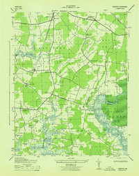
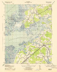
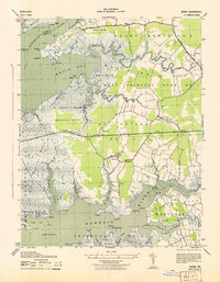
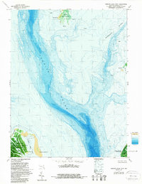
Historical Maps of Tylerton Through Time
49 maps found
1942 Great Fox Island
Somerset County, MD
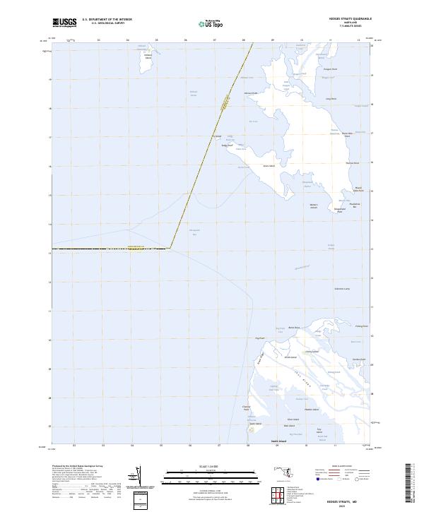
1942 Kedges Straits
Somerset County, MD

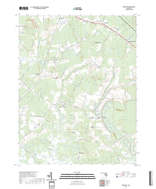
1942 Kingston
Somerset County, MD
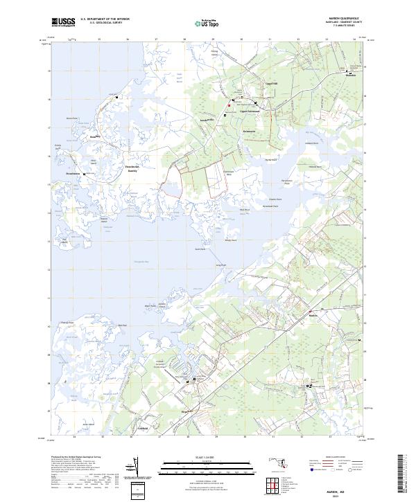
1942 Marion
Somerset County, MD

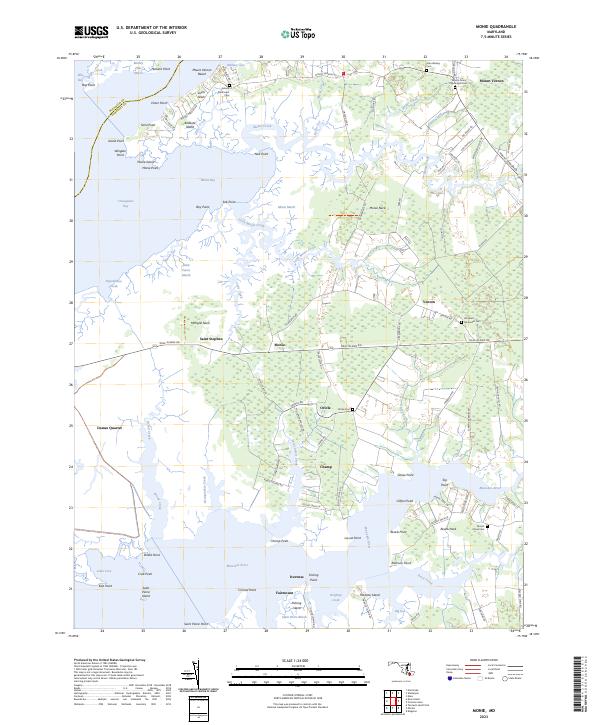
1942 Monie
Somerset County, MD
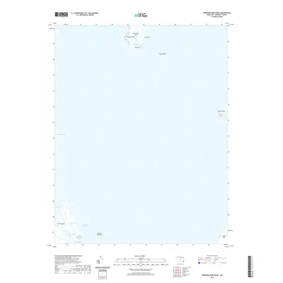
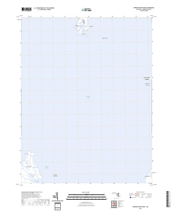
1942 Terrapin Sand Point
Somerset County, MD
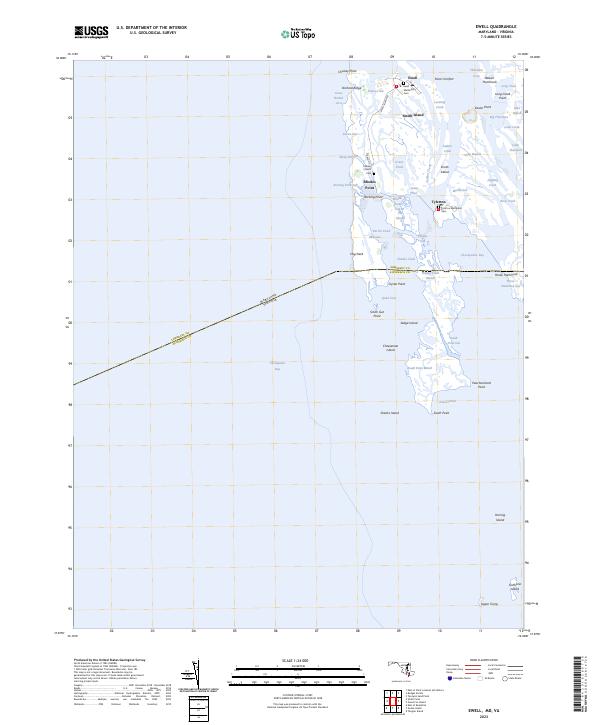
1943 Ewell
Somerset County, MD
1943 Great Fox Island
Somerset County, MD
1943 Kedges Straits
Somerset County, MD
1943 Kingston
Somerset County, MD
1943 Marion
Somerset County, MD
1943 Monie
Somerset County, MD
1943 Terrapin Sand Point
Somerset County, MD
1968 Ewell
Somerset County, MD
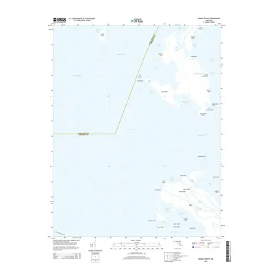
1972 Kedges Straits
Somerset County, MD
1972 Kingston
Somerset County, MD
1972 Marion
Somerset County, MD
1972 Monie
Somerset County, MD
1973 Terrapin Sand Point
Somerset County, MD
2011 Ewell
Somerset County, MD
2011 Kedges Straits
Somerset County, MD
2011 Kingston
Somerset County, MD
2011 Marion
Somerset County, MD
2011 Monie
Somerset County, MD
2011 Terrapin Sand Point
Somerset County, MD
2014 Ewell
Somerset County, MD
2014 Kedges Straits
Somerset County, MD
2014 Kingston
Somerset County, MD
2014 Marion
Somerset County, MD
2014 Monie
Somerset County, MD
2014 Terrapin Sand Point
Somerset County, MD
2016 Ewell
Somerset County, MD
2016 Kedges Straits
Somerset County, MD
2016 Kingston
Somerset County, MD
2016 Marion
Somerset County, MD
2016 Monie
Somerset County, MD
2017 Terrapin Sand Point
Somerset County, MD
2019 Ewell
Somerset County, MD
2019 Kedges Straits
Somerset County, MD
2019 Kingston
Somerset County, MD
2019 Marion
Somerset County, MD
2019 Monie
Somerset County, MD
2019 Terrapin Sand Point
Somerset County, MD
2023 Ewell
Somerset County, MD
2023 Kedges Straits
Somerset County, MD
2023 Kingston
Somerset County, MD
2023 Marion
Somerset County, MD
2023 Monie
Somerset County, MD
2023 Terrapin Sand Point
Somerset County, MD