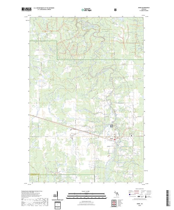
2023 Map of Ewen
USGS Topo · Published 2023About this map
Ewen serves as the primary hub in this portion of Ontonagon County, positioned along the South Branch Ontonagon River and what was historically a vital corridor for Upper Peninsula timber and transit. The river system dominates the local geography, featuring numerous tributaries such as Mulligan Creek, Maple Leaf Creek, and Junco Creek that drain the heavily forested landscape of the Ottawa National Forest. To the east of the main settlement lies Evergreen Ewen Cem, a site of significant genealogical value for local families. The map also captures the smaller locality of Ojaniemi near the southern border. Modern infrastructure is represented by a local Airport and the Bergland To Sidnaw State Trl, which follows a long-established transit path through the northern woods. This survey highlights the region's enduring character as a managed wilderness area where small-town life meets the rugged watercourses of the western U.P.
Find a feature on this map
69 named features on this map. Tap any name to fly to it.
Don’t see what you’re looking for? This feature index may not catch every label — zoom into the map to look around manually.
Map Details
Editions of this 2023 Ewen Map
This is the sole edition of this map. No revisions or reprints were ever made.
Other maps of this area

1949 · Matchwood NW
USGS Topo · 1:24,000

1949 · Rockland
USGS Topo · 1:62,500

1951 · Rockland
USGS Topo · 1:62,500

1952 · Watersmeet
USGS Topo · 1:62,500

1952 · Thayer
USGS Topo · 1:62,500

1956 · Matchwood NW
USGS Topo · 1:24,000

1956 · Matchwood
USGS Topo · 1:62,500

1958 · Iron River
USGS Topo · 1:250,000

1960 · Iron River
USGS Topo · 1:250,000

1961 · Iron River
USGS Topo · 1:250,000