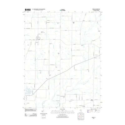
2012 Map of Ewing
USGS Topo · Published 2012About this map
The village of Ewing and its surrounding rural townships in Franklin County are defined by a complex network of tributaries feeding the Middle Fork Big Muddy River. This landscape is marked by the presence of the University of Illinois Experimental Farm, indicating a local economy rooted in agricultural research and cultivation. The terrain transitions between low-lying drainage basins like Akin Cr and notable elevations such as Taylor Hill and Webbs Hill.
Find a feature on this map
102 named features on this map. Tap any name to fly to it.
Don’t see what you’re looking for? This feature index may not catch every label — zoom into the map to look around manually.
Map Details
Editions of this 2012 Ewing Map
This is the sole edition of this map. No revisions or reprints were ever made.
Other maps of this area

1908 · Galatia
USGS Topo · 1:62,500

1909 · West Frankfort
USGS Topo · 1:62,500

1938 · Galatia
USGS Topo · 1:62,500

1939 · Ina
USGS Topo · 1:62,500

1941 · West Frankfort
USGS Topo · 1:62,500

1942 · McLeansboro
USGS Topo · 1:62,500

1943 · Ina
USGS Topo · 1:62,500

1945 · McLeansboro
USGS Topo · 1:62,500

1949 · Paducah
USGS Topo · 1:250,000

1950 · Paducah
USGS Topo · 1:250,000