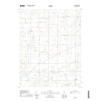
2018 Map of Ewing
USGS Topo · Published 2018About this map
The village of Ewing serves as a primary hub in this northern Franklin County landscape, where agriculture and hydrology define the local character. Situated at the junction of Co Hwy 1 and Co Hwy 12, the settlement is surrounded by a network of rural routes such as Tick Ridge Rd and Rescue Church Rd that connect isolated homesteads and several family cemeteries. To the south and east, the terrain is shaped by the wandering path of the Middle Fork Big Muddy River and its various tributaries, including Sugar Camp Cr and Drummond Br. Numerous small burying grounds, such as Thurmond Cem, Otterson Cem, and Marion Cem, are scattered across the quadrangle, indicating long-established family ties to these townships. The elevation rises at Webbs Hill, overlooking a patchwork of sections that reveal the traditional square-grid land division of the Illinois interior.
Find a feature on this map
63 named features on this map. Tap any name to fly to it.
Don’t see what you’re looking for? This feature index may not catch every label — zoom into the map to look around manually.
Map Details
Editions of this 2018 Ewing Map
This is the sole edition of this map. No revisions or reprints were ever made.
Other maps of this area

1908 · Galatia
USGS Topo · 1:62,500

1909 · West Frankfort
USGS Topo · 1:62,500

1938 · Galatia
USGS Topo · 1:62,500

1939 · Ina
USGS Topo · 1:62,500

1941 · West Frankfort
USGS Topo · 1:62,500

1942 · McLeansboro
USGS Topo · 1:62,500

1943 · Ina
USGS Topo · 1:62,500

1945 · McLeansboro
USGS Topo · 1:62,500

1949 · Paducah
USGS Topo · 1:250,000

1950 · Paducah
USGS Topo · 1:250,000