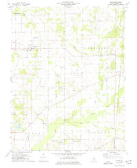
1974 Map of Ewing
USGS Topo · Published 1977About this map
The village of Ewing serves as a central hub in this Franklin County landscape, established well before the 1970s field checks and surrounded by a dense network of family cemeteries and rural institutions. To the north, the Univ of Illinois Experimental Farm and the State Wildlife Management Area indicate a mix of scientific agriculture and conservation efforts. The eastern portion of the map is defined by the Illinois Central Gulf rail line, which connects small communities like Townhall and Odum Spur.
Find a feature on this map
44 named features on this map. Tap any name to fly to it.
Don’t see what you’re looking for? This feature index may not catch every label — zoom into the map to look around manually.
Map Details
Editions of this 1974 Ewing Map
This is the sole edition of this map. No revisions or reprints were ever made.
Other maps of this area

1908 · Galatia
USGS Topo · 1:62,500

1909 · West Frankfort
USGS Topo · 1:62,500

1938 · Galatia
USGS Topo · 1:62,500

1939 · Ina
USGS Topo · 1:62,500

1941 · West Frankfort
USGS Topo · 1:62,500

1942 · McLeansboro
USGS Topo · 1:62,500

1943 · Ina
USGS Topo · 1:62,500

1945 · McLeansboro
USGS Topo · 1:62,500

1949 · Paducah
USGS Topo · 1:250,000

1950 · Paducah
USGS Topo · 1:250,000