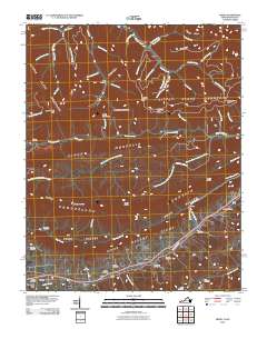
2010 Map of Ewing
USGS Topo · Published 2010About this map
Ewing serves as a central hub in this corner of Lee County, situated along the base of Poor Valley Ridge. The landscape is defined by the heavy parallel ridges of Cumberland Mountain and Little Black Mountain, creating a corridor of deep valleys and gaps such as Indian Grave Gap and Ely Gap. This map reveals a high density of family and community history, evidenced by more than a dozen documented burial grounds including Richmond Cemetery, Kincaid Cemetery, and Yeary Cemetery.
Find a feature on this map
76 named features on this map. Tap any name to fly to it.
Don’t see what you’re looking for? This feature index may not catch every label — zoom into the map to look around manually.
Map Details
Editions of this 2010 Ewing Map
This is the sole edition of this map. No revisions or reprints were ever made.
Other maps of this area

1886 · Cumberland Gap
USGS Topo · 1:125,000

1887 · Jonesville
USGS Topo · 1:125,000

1888 · Cumberland Gap
USGS Topo · 1:125,000

1891 · Cumberland Gap
USGS Topo · 1:125,000

1891 · Jonesville
USGS Topo · 1:125,000

1903 · Harlan
USGS Topo · 1:48,000

1903 · Pineville
USGS Topo · 1:48,000

1903 · Middlesboro
USGS Topo · 1:48,000

1916 · Harlan
USGS Topo · 1:48,000

1919 · Harlan
USGS Topo · 1:62,500