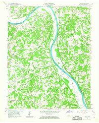
1958 Map of Excell
USGS Topo · Published 1960About this map
The Cumberland River carves a sweeping path through this 1950s landscape, serving as the dominant geographic feature for the small communities of Excell and Salem. This era captures the rural character of Montgomery County before modern development, where a network of family-named roads like Edmondson Ferry Road and Marthas Chapel Road connected isolated farmsteads and crossroads such as Orgains Crossroads. Evidence of much earlier habitation is preserved near the riverbank at the Indian Mounds north of Big McAdoo Creek.
Find a feature on this map
47 named features on this map. Tap any name to fly to it.
Don’t see what you’re looking for? This feature index may not catch every label — zoom into the map to look around manually.
Map Details
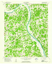
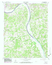
Editions of this 1958 Excell Map
3 editions found
Other maps of this area

1944 · Clarksville
USGS Topo · 1:50,000

1951 · New Providence
USGS Topo · 1:24,000

1951 · Clarksville
USGS Topo · 1:24,000

1956 · Nashville
USGS Topo · 1:250,000

1957 · Cheatham Dam
USGS Topo · 1:24,000

1957 · Henrietta
USGS Topo · 1:24,000

1957 · Sango
USGS Topo · 1:24,000

1957 · New Providence
USGS Topo · 1:24,000

1957 · Clarksville
USGS Topo · 1:24,000
1957 · Clarksville
USGS Topo · 1:62,500