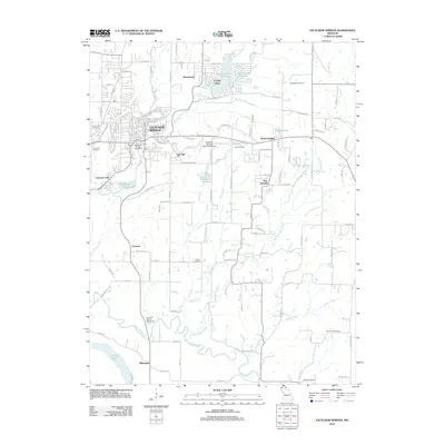
2012 Map of Excelsior Springs
USGS Topo · Published 2012About this map
Excelsior Springs is the primary hub of this landscape, where the confluence of the East Fork Fishing River and Dry Fork dictated early development. The area's municipal infrastructure is well-defined, featuring the Excelsior Springs Post Office, the Excelsior Springs Memorial Airport, and the Excelsior Springs Waterworks. Surrounding the urban center are distinct residential and rural clusters like Golf Hill, Wood Heights, and Crystal Lakes, which surround the Number 172 Reservoir.
Find a feature on this map
108 named features on this map. Tap any name to fly to it.
Don’t see what you’re looking for? This feature index may not catch every label — zoom into the map to look around manually.
Map Details
Editions of this 2012 Excelsior Springs Map
This is the sole edition of this map. No revisions or reprints were ever made.
Other maps of this area

1894 · Independence
USGS Topo · 1:125,000

1935 · Buckner
USGS Topo · 1:24,000

1935 · Missouri City
USGS Topo · 1:24,000

1936 · Kearney
USGS Topo · 1:48,000

1942 · Kearney
USGS Topo · 1:62,500

1945 · Kearney
USGS Topo · 1:62,500
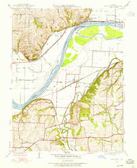
1945 · Missouri City
USGS Topo · 1:24,000
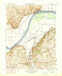
1947 · Missouri City
USGS Topo · 1:31,680

1950 · Kansas City
USGS Topo · 1:250,000
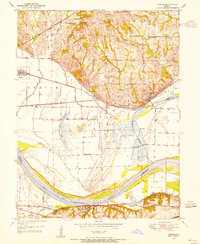
1950 · Camden
USGS Topo · 1:24,000