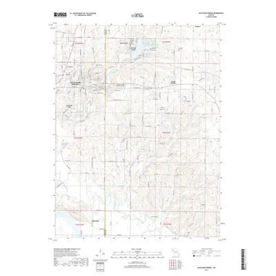
2017 Map of Excelsior Springs
USGS Topo · Published 2017About this map
Excelsior Springs anchors this landscape at the western edge of the Ray and Clay County line, characterized by its transition from a structured urban center to the winding drainages of the Fishing River. The surrounding area is marked by a high density of small-scale reservoirs, such as Number 165 Reservoir and Number 166 Reservoir near Crystal Lakes, suggesting a managed water system for the residential developments and agricultural lands.
Find a feature on this map
62 named features on this map. Tap any name to fly to it.
Don’t see what you’re looking for? This feature index may not catch every label — zoom into the map to look around manually.
Map Details
Editions of this 2017 Excelsior Springs Map
This is the sole edition of this map. No revisions or reprints were ever made.
Other maps of this area

1894 · Independence
USGS Topo · 1:125,000

1935 · Buckner
USGS Topo · 1:24,000

1935 · Missouri City
USGS Topo · 1:24,000

1936 · Kearney
USGS Topo · 1:48,000

1942 · Kearney
USGS Topo · 1:62,500

1945 · Kearney
USGS Topo · 1:62,500
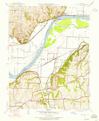
1945 · Missouri City
USGS Topo · 1:24,000
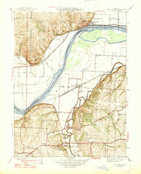
1947 · Missouri City
USGS Topo · 1:31,680

1950 · Kansas City
USGS Topo · 1:250,000
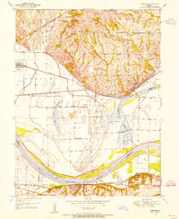
1950 · Camden
USGS Topo · 1:24,000