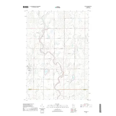
2018 Map of Exeland
USGS Topo · Published 2018About this map
The Chippewa River flows through a landscape defined by glacial lakes and meandering waterways in this 2018 survey of the region surrounding Exeland. Located along the border of Sawyer and Rusk counties, the area maintains a rural character dominated by water features like Windfall Lake and the complex network of Little Weirgor Creek. This map is particularly valuable for genealogical research, as it identifies several local burial sites including Exeland Cemetery, Bellile Cemetery, and the Mennonite Cemetery. The road network, featuring names like Red Gordon Road and Stanskowski Road, reflects the long-standing agricultural and residential patterns of the community. In the eastern portion, the Brunet River and White Birch Lake provide key drainage points for the low-lying terrain, illustrating the dense concentration of wetlands characteristic of northern Wisconsin.
Find a feature on this map
57 named features on this map. Tap any name to fly to it.
Don’t see what you’re looking for? This feature index may not catch every label — zoom into the map to look around manually.
Map Details
Editions of this 2018 Exeland Map
This is the sole edition of this map. No revisions or reprints were ever made.
Other maps of this area

1944 · Exeland
USGS Topo · 1:48,000

1944 · Couderay
USGS Topo · 1:48,000

1944 · Radisson
USGS Topo · 1:48,000

1945 · Meteor
USGS Topo · 1:48,000

1947 · Exeland
USGS Topo · 1:48,000

1948 · Couderay
USGS Topo · 1:48,000

1949 · Radisson
USGS Topo · 1:48,000

1949 · Meteor
USGS Topo · 1:48,000

1953 · Rice Lake
USGS Topo · 1:250,000

1959 · Rice Lake
USGS Topo · 1:250,000