2022 Map of Exmore
USGS Topo · Published 2022About this map
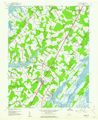
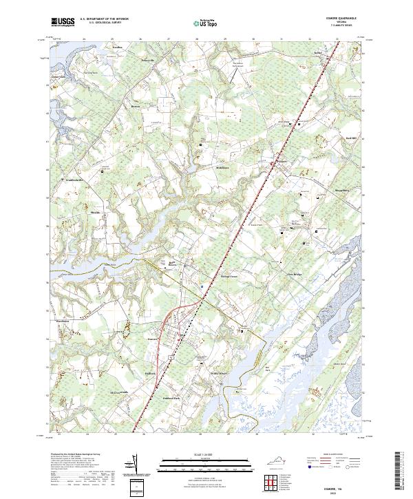
Exmore and Belle Haven anchor this section of the Virginia Eastern Shore, where the land narrows between the Chesapeake Bay to the west and the Machipongo River to the east. The landscape is defined by the transition from upland agricultural fields like Painter Field to the intricate tidal networks of Nassawadox Creek and Occohannock Cr. A notable density of family plots and churchyards, such as the Ames-Hyslop Family Cem and the Epworth United Methodist Church Cem, reflects the deep ancestral roots tied to these coastal necks and crossroads. The map documents the persistent boundary between Accomack Co and Northampton Co, which zigzags through settlements like Painter and Middlesex. This modern survey details the contemporary layout of small communities including Willis Wharf and Wardtown, illustrating how local commerce and residential life remain oriented around the historic roadway corridors and the surrounding marshes of Bell Neck Swamp.
Find a feature on this map
144 named features on this map. Tap any name to fly to it.
Don’t see what you’re looking for? This feature index may not catch every label — zoom into the map to look around manually.
Map Details
Editions of this 2022 Exmore Map
This is the sole edition of this map. No revisions or reprints were ever made.
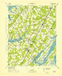
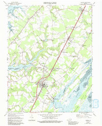
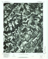
Historical Maps of Middlesex Through Time
5 maps found