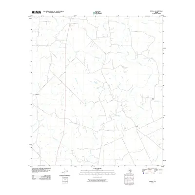
2010 Map of Ezzell
USGS Topo · Published 2010About this map
Lavaca River drainage systems define this section of Lavaca County, where a network of seasonal and perennial streams converge. The small settlements of Ezzell and Koerth serve as the primary hubs for this rural agricultural landscape, connected by a lattice of country roads such as FM 531 and numerous county routes. A significant concentration of water features, including Waterhole Creek, Clarks Creek, and Rocky Creek, illustrates the complex hydrology that influenced early Texas farmstead placement and livestock management.
Find a feature on this map
43 named features on this map. Tap any name to fly to it.
Don’t see what you’re looking for? This feature index may not catch every label — zoom into the map to look around manually.
Map Details
Editions of this 2010 Ezzell Map
This is the sole edition of this map. No revisions or reprints were ever made.
Other maps of this area

1953 · Seguin
USGS Topo · 1:250,000

1958 · Seguin
USGS Topo · 1:250,000

1962 · Terryville
USGS Topo · 1:24,000

1962 · Sublime
USGS Topo · 1:24,000

1962 · Hallettsville SE
USGS Topo · 1:24,000

1962 · Hallettsville
USGS Topo · 1:24,000

1963 · Sweet Home
USGS Topo · 1:24,000

1964 · Morales
USGS Topo · 1:24,000

1964 · Ezzell
USGS Topo · 1:24,000

1965 · Wied
USGS Topo · 1:24,000