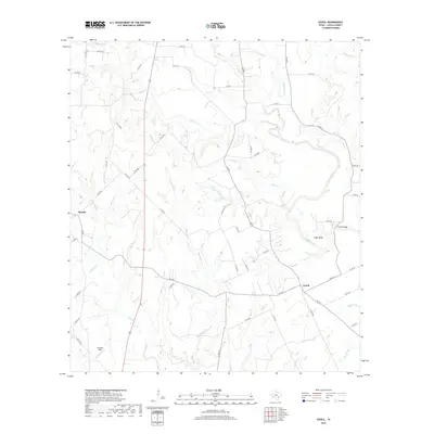
2019 Map of Ezzell
USGS Topo · Published 2019About this map
Koerth and Ezzell anchor this rural Lavaca County landscape, which is defined by the winding course of the Lavaca River and its numerous tributaries. The geography here is a complex drainage system where Rocky Cr, Yellow Bank Cr, and Clarks Cr converge from the west, while Grafe Br and Summer Br feed the river from the east. This 2019 survey shows a landscape primarily dedicated to ranching and local transit, with a dense network of county roads like Co RD 387 and Co RD 454 connecting scattered homesteads and agricultural tracts.
Find a feature on this map
56 named features on this map. Tap any name to fly to it.
Don’t see what you’re looking for? This feature index may not catch every label — zoom into the map to look around manually.
Map Details
Editions of this 2019 Ezzell Map
This is the sole edition of this map. No revisions or reprints were ever made.
Other maps of this area

1953 · Seguin
USGS Topo · 1:250,000

1958 · Seguin
USGS Topo · 1:250,000

1962 · Terryville
USGS Topo · 1:24,000

1962 · Sublime
USGS Topo · 1:24,000

1962 · Hallettsville SE
USGS Topo · 1:24,000

1962 · Hallettsville
USGS Topo · 1:24,000

1963 · Sweet Home
USGS Topo · 1:24,000

1964 · Morales
USGS Topo · 1:24,000

1964 · Ezzell
USGS Topo · 1:24,000

1965 · Wied
USGS Topo · 1:24,000