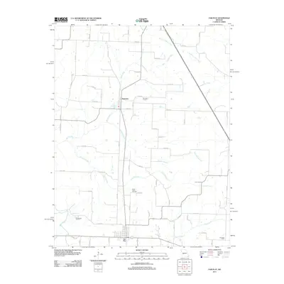
2011 Map of Fair Play
USGS Topo · Published 2011About this map
Fair Play and Dunnegan anchor this part of Polk County, where the Ozark landscape is defined by a dense network of springs and creek branches. Water is a central feature of the terrain, from the Dunnegan Spring at the north to the Cave Spring near the southern border. The drainage patterns of Jump Off Creek, Campbell Branch, and Barren Creek suggest the complex topography that historically influenced settlement and road placement in this region.
Find a feature on this map
59 named features on this map. Tap any name to fly to it.
Don’t see what you’re looking for? This feature index may not catch every label — zoom into the map to look around manually.
Map Details
Editions of this 2011 Fair Play Map
This is the sole edition of this map. No revisions or reprints were ever made.
Other maps of this area

1884 · Bolivar
USGS Topo · 1:125,000

1886 · Stockton
USGS Topo · 1:125,000

1892 · Bolivar
USGS Topo · 1:125,000

1939 · Arnica
USGS Topo · 1:24,000

1941 · Arnica
USGS Topo · 1:24,000

1942 · Elkton
USGS Topo · 1:24,000

1944 · Humansville
USGS Topo · 1:24,000

1949 · Elkton
USGS Topo · 1:24,000

1950 · Elkton
USGS Topo · 1:24,000

1950 · Cliquot
USGS Topo · 1:24,000