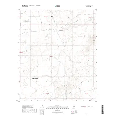
2018 Map of Fairbank
USGS Topo · Published 2018About this map
The San Pedro River corridor serves as the primary artery of this Cochise County landscape, where the riparian environment meets the arid uplands of southern Arizona. The confluence with the Babocomari River near Benson Junction highlights a critical hydrologic junction that historically influenced travel and settlement patterns in the valley. To the west, the northern fringes of Sierra Vista begin to encroach upon the open range, marked by a growing grid of residential roads such as N Coyote Moon Trl and E Trails End Rd. This transition from urban development to open terrain is further emphasized by the presence of Four Pillars Airport and the prominent elevations of The Three Brothers Hills. Drainage patterns like Walnut Gulch and Graveyard Gulch illustrate the seasonal flow of water that has carved the local topography over time.
Find a feature on this map
40 named features on this map. Tap any name to fly to it.
Don’t see what you’re looking for? This feature index may not catch every label — zoom into the map to look around manually.
Map Details
Editions of this 2018 Fairbank Map
This is the sole edition of this map. No revisions or reprints were ever made.
Other maps of this area

1915 · Benson
USGS Topo · 1:125,000

1922 · St. David
USGS Topo · 1:62,500

1926 · Whetstone
USGS Topo · 1:62,500

1932 · Fairbank
USGS Topo · 1:62,500

1938 · Huachuca
USGS Topo · 1:62,500

1943 · Benson
USGS Topo · 1:125,000

1948 · Fort Huachuca NE
USGS Topo · 1:24,000
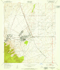
1948 · Fort Huachuca
USGS Topo · 1:24,000
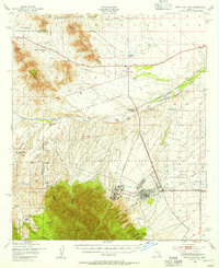
1948 · Fort Huachuca
USGS Topo · 1:62,500

1952 · Tombstone SE
USGS Topo · 1:24,000