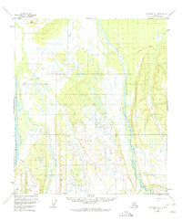
1952 Map of Fairbanks A-6
USGS Topo · Published 1975About this map
Teklanika River, Sushana River, and the Toklat River dominate this subarctic landscape, carving through a region defined by extensive wetlands and braided waterways. The geography captured here reflects the early 1950s interior of Alaska, a wilderness largely devoid of permanent settlements and accessible primarily via a Winter Trail that cuts across the northern reaches. Surveyed by the Bureau of Land Management and the U.S. Geological Survey, the map provides precise vertical control points such as VABM 1006 Nika and VABM 1451 Rick. The intricate drainage patterns and swamp notations, interpreted from 1951 aerial photography, reveal the shifting nature of the riverbeds and the low-relief terrain that characterizes the Fairbanks meridian prior to modern infrastructure developments.
Find a feature on this map
7 named features on this map. Tap any name to fly to it.
Don’t see what you’re looking for? This feature index may not catch every label — zoom into the map to look around manually.
Map Details
Editions of this 1952 Fairbanks A-6 Map
2 editions found

Other maps of this area

1948 · Kantishna River
USGS Topo · 1:250,000

1949 · Fairbanks B-5
USGS Topo · 1:63,360

1950 · Fairbanks
USGS Topo · 1:250,000

1950 · Fairbanks A-5
USGS Topo · 1:63,360

1950 · Fairbanks B-5
USGS Topo · 1:63,360

1951 · Healy
USGS Topo · 1:250,000

1951 · Kantishna River
USGS Topo · 1:250,000

1951 · Fairbanks B-5
USGS Topo · 1:63,360

1951 · Fairbanks
USGS Topo · 1:250,000

1951 · Fairbanks A-5
USGS Topo · 1:63,360