
1950 Map of Fairbanks C-1
USGS Topo · Published 1964About this map
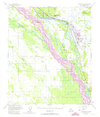
The braided channels of the Tanana River dominate this mid-century landscape southeast of Fairbanks, reflecting a period of significant military and infrastructure expansion in the Alaskan interior. The eastern edge of the map is defined by the massive footprint of Eielson Air Force Base, positioned strategically alongside The Alaska Railroad and the Richardson Highway. This corridor serves as the region's primary transport artery, connecting the settlement of Moose Creek to the broader territory. Beyond the developed base, the land is largely utilized for defense purposes, including an extensive Military Reservation and a designated Bombing and Gunnery Range. The complex hydrology of the area is evident in the numerous side channels and waterways like Chena Slough, Salchaket Slough, and Piledriver Slough, which weave through the low-lying terrain beneath Moose Creek Bluff.
Find a feature on this map
18 named features on this map. Tap any name to fly to it.
Don’t see what you’re looking for? This feature index may not catch every label — zoom into the map to look around manually.
Map Details
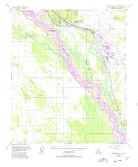
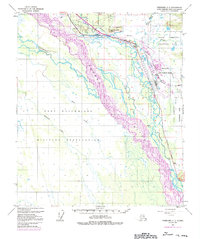
Editions of this 1950 Fairbanks C-1 Map
4 editions found
Other maps of this area

1949 · Fairbanks D-1
USGS Topo · 1:62,500

1949 · Fairbanks D-2
USGS Topo · 1:62,500

1949 · Big Delta B-6
USGS Topo · 1:63,360

1949 · Fairbanks C-1
USGS Topo · 1:63,360

1949 · Big Delta C-6
USGS Topo · 1:63,360

1949 · Fairbanks C-2
USGS Topo · 1:63,360

1950 · Fairbanks
USGS Topo · 1:250,000

1950 · Big Delta
USGS Topo · 1:250,000

1950 · Big Delta D-6
USGS Topo · 1:63,360

1950 · Fairbanks B-2
USGS Topo · 1:63,360