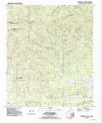
1992 Map of Fairbanks D-1 NW
USGS Topo · Published 1992About this map
Gilmore Dome rises as a prominent landmark in this interior Alaskan landscape, which is defined by a dense network of mining prospects and specialized scientific facilities. The presence of the Fairbanks No 2 NASA Data Aquisition Facility and the Eielson Alaska Long Period Array Research Site highlights the region's importance for aerospace and geophysical research during the late twentieth century.
Find a feature on this map
38 named features on this map. Tap any name to fly to it.
Don’t see what you’re looking for? This feature index may not catch every label — zoom into the map to look around manually.
Map Details
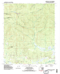
Editions of this 1992 Fairbanks D-1 NW Map
2 editions found
Other maps of this area

1945 · Livengood
USGS Topo · 1:250,000

1949 · Fairbanks D-1
USGS Topo · 1:62,500

1949 · Fairbanks D-2
USGS Topo · 1:62,500

1950 · Fairbanks
USGS Topo · 1:250,000

1951 · Fairbanks
USGS Topo · 1:250,000

1951 · Livengood
USGS Topo · 1:250,000

1952 · Fairbanks D-2
USGS Topo · 1:63,360
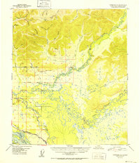
1952 · Fairbanks D-1
USGS Topo · 1:63,360

1952 · Fairbanks
USGS Topo · 1:250,000

1952 · Livengood A-2
USGS Topo · 1:63,360