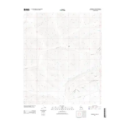
2013 Map of Fairbanks D-3 NW
USGS Topo · Published 2013About this map
Murphy Dome anchors the high ground of this interior Alaska landscape, serving as a primary navigational landmark northwest of Fairbanks. This 2013 survey illustrates the complex drainage patterns of the region, where numerous waterways like Shovel Cr, Keystone Cr, and Fortune Cr carve deep valleys through the upland terrain. The map details a network of roads that wind across the ridges and through the creek bottoms, reflecting the area's development for residential and recreational use. Notable routes such as Murphy Dome Rd and Old Murphy Dome Rd provide access to the summit, while a cluster of smaller roads in the southeast, including Gettysburg Rd and Reconstruction Rd, indicates a concentration of local activity and land parcels near the headwaters of Cache Cr.
Find a feature on this map
23 named features on this map. Tap any name to fly to it.
Don’t see what you’re looking for? This feature index may not catch every label — zoom into the map to look around manually.
Map Details
Editions of this 2013 Fairbanks D-3 NW Map
This is the sole edition of this map. No revisions or reprints were ever made.
Other maps of this area

1945 · Livengood
USGS Topo · 1:250,000

1949 · Fairbanks D-3
USGS Topo · 1:63,360

1949 · Fairbanks D-4
USGS Topo · 1:63,360

1950 · Fairbanks
USGS Topo · 1:250,000

1950 · Fairbanks D-3
USGS Topo · 1:63,360

1951 · Fairbanks
USGS Topo · 1:250,000

1951 · Livengood
USGS Topo · 1:250,000

1951 · Livengood A-4
USGS Topo · 1:63,360

1952 · Fairbanks D-3
USGS Topo · 1:63,360

1952 · Fairbanks D-4
USGS Topo · 1:63,360