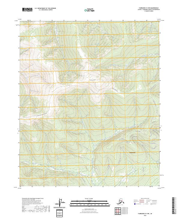
2024 Map of Fairbanks D-3 NW
USGS Topo · Published 2024About this map
Murphy Dome dominates the northern interior landscape of this Interior Alaska region, serving as a high-altitude focal point from which numerous drainages radiate. To the south, the settlement of Goldstream is reached by a network of roads with evocative names including Reconstruction Road, Rebel Way, and Seward Road. The terrain is defined by its complex hydrology, where Dawson Creek and Keystone Creek carve through the high ground towards the valleys below.
Find a feature on this map
27 named features on this map. Tap any name to fly to it.
Don’t see what you’re looking for? This feature index may not catch every label — zoom into the map to look around manually.
Map Details
Editions of this 2024 Fairbanks D-3 NW Map
This is the sole edition of this map. No revisions or reprints were ever made.
Other maps of this area

1945 · Livengood
USGS Topo · 1:250,000

1949 · Fairbanks D-3
USGS Topo · 1:63,360

1949 · Fairbanks D-4
USGS Topo · 1:63,360

1950 · Fairbanks
USGS Topo · 1:250,000

1950 · Fairbanks D-3
USGS Topo · 1:63,360

1951 · Fairbanks
USGS Topo · 1:250,000

1951 · Livengood
USGS Topo · 1:250,000

1951 · Livengood A-4
USGS Topo · 1:63,360

1952 · Fairbanks D-3
USGS Topo · 1:63,360

1952 · Fairbanks D-4
USGS Topo · 1:63,360