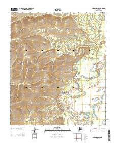
2013 Map of Fairbanks D-6 NW
USGS Topo · Published 2013About this map
Tolovana River meanders through the landscape, defining the hydrological character of this portion of the Yukon-Koyukuk region. The river's winding oxbows and surrounding lowlands contrast sharply with the rising elevations of the Dugan Hills to the northwest. This 2013 survey illustrates the dramatic shift between the river's floodplains and the upland terrain, a typical pattern in interior Alaska where water systems dictate the ease of movement and the nature of seasonal land use. The map identifies the boundaries of T 2 N and T 1 N and R 12 W and R 11 W, providing a clear record of the public land survey system in this interior corridor.
Find a feature on this map
4 named features on this map. Tap any name to fly to it.
Don’t see what you’re looking for? This feature index may not catch every label — zoom into the map to look around manually.
Map Details
Editions of this 2013 Fairbanks D-6 NW Map
This is the sole edition of this map. No revisions or reprints were ever made.
Other maps of this area

1945 · Livengood
USGS Topo · 1:250,000

1948 · Kantishna River
USGS Topo · 1:250,000

1950 · Fairbanks
USGS Topo · 1:250,000

1951 · Kantishna River
USGS Topo · 1:250,000

1951 · Fairbanks
USGS Topo · 1:250,000

1951 · Tanana
USGS Topo · 1:250,000

1951 · Livengood
USGS Topo · 1:250,000

1952 · Tanana A-1
USGS Topo · 1:63,360

1952 · Livengood A-6
USGS Topo · 1:63,360

1952 · Kantishna River
USGS Topo · 1:250,000