
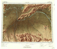
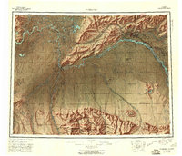
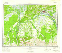
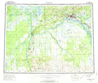
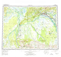
1952 Map of Fairbanks
USGS Topo · Published 1958About this map
Fairbanks serves as the hub of this mid-century survey, a period when the interior of Alaska was rapidly modernizing through military expansion and transportation development. The landscape is defined by the braided courses of the Tanana River and Nenana River, which provided the historic corridors for the river-and-rail economy. The presence of the University of Alaska and the burgeoning community of North Pole reflect the civilian growth of the era, while the massive Bombing and Gunnery Range and Eielson Air Force Base indicate the strategic Cold War importance of the region.
Find a feature on this map
63 named features on this map. Tap any name to fly to it.
Don’t see what you’re looking for? This feature index may not catch every label — zoom into the map to look around manually.
Map Details
Editions of this 1952 Fairbanks Map
6 editions found
Other maps of this area

1945 · Livengood
USGS Topo · 1:250,000

1948 · Kantishna River
USGS Topo · 1:250,000

1949 · Fairbanks D-1
USGS Topo · 1:62,500

1949 · Fairbanks D-2
USGS Topo · 1:62,500

1949 · Big Delta B-6
USGS Topo · 1:63,360

1949 · Fairbanks B-5
USGS Topo · 1:63,360

1949 · Fairbanks C-1
USGS Topo · 1:63,360

1949 · Fairbanks D-3
USGS Topo · 1:63,360

1949 · Big Delta C-6
USGS Topo · 1:63,360

1949 · Fairbanks D-4
USGS Topo · 1:63,360