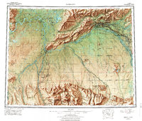
1956 Map of Fairbanks
USGS Topo · Published 1978About this map
Fairbanks and the surrounding Tanana Valley serve as the focal point of this regional mid-century survey, revealing a landscape defined by its strategic military importance and northern transportation corridors. The city is flanked by extensive installations, including Fort Wainwright Military Reservation and Eielson AFB, while the Clear Missile Early Warning Station stands as a Cold War landmark to the southwest. The University of Alaska anchors College just west of the city center.
Find a feature on this map
58 named features on this map. Tap any name to fly to it.
Don’t see what you’re looking for? This feature index may not catch every label — zoom into the map to look around manually.
Map Details
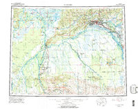
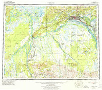
Editions of this 1956 Fairbanks Map
3 editions found
Other maps of this area

1945 · Livengood
USGS Topo · 1:250,000

1948 · Kantishna River
USGS Topo · 1:250,000

1949 · Fairbanks D-1
USGS Topo · 1:62,500

1949 · Fairbanks D-2
USGS Topo · 1:62,500

1949 · Big Delta B-6
USGS Topo · 1:63,360

1949 · Fairbanks B-5
USGS Topo · 1:63,360

1949 · Fairbanks C-1
USGS Topo · 1:63,360

1949 · Fairbanks D-3
USGS Topo · 1:63,360

1949 · Big Delta C-6
USGS Topo · 1:63,360

1949 · Fairbanks D-4
USGS Topo · 1:63,360