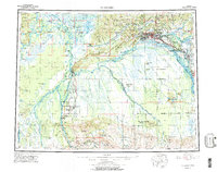
1956 Map of Fairbanks
USGS Topo · Published 1978About this map
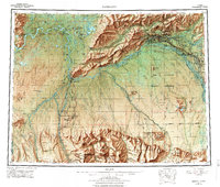
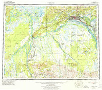
Fairbanks serves as the focal point of this interior Alaskan study, showing the city's relationship to the surrounding wilderness and military installations during the mid-20th century. The intricate braid of the Tanana River and its many sloughs, such as Crescent Slough, dominate the lowlands, while The Alaska Railroad provides the primary industrial artery connecting remote outposts like Dunbar and Nenana.
Find a feature on this map
64 named features on this map. Tap any name to fly to it.
Don’t see what you’re looking for? This feature index may not catch every label — zoom into the map to look around manually.
Map Details
Editions of this 1956 Fairbanks Map
3 editions found
Other maps of this area

1945 · Livengood
USGS Topo · 1:250,000

1948 · Kantishna River
USGS Topo · 1:250,000

1949 · Fairbanks D-1
USGS Topo · 1:62,500

1949 · Fairbanks D-2
USGS Topo · 1:62,500

1949 · Big Delta B-6
USGS Topo · 1:63,360

1949 · Fairbanks B-5
USGS Topo · 1:63,360

1949 · Fairbanks C-1
USGS Topo · 1:63,360

1949 · Fairbanks D-3
USGS Topo · 1:63,360

1949 · Big Delta C-6
USGS Topo · 1:63,360

1949 · Fairbanks D-4
USGS Topo · 1:63,360