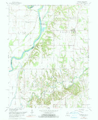
1966 Map of Fairbanks
USGS Topo · Published 1991About this map
The Wabash River serves as the dividing line between Indiana and Illinois in this mid-century survey, defining the boundaries of York and Fairbanks townships. The landscape is marked by the deep winding path of Turman Creek, which flows past Ladd Hill and under Dodds Bridge toward the river. Cultural history is dense along the eastern banks, where rural life is anchored by family-named landmarks such as the Riggs-Ernest Cem and several country churches, including Brick Ch and Union Chapel. Industrial activity and natural resource extraction are evident through the presence of an Oil Field, numerous Gravel Pits, and the Industrial Railroad corridor. Ancient history is also present on the land, with Indian Mound and Indian Mounds sites identified near the river bluffs.
Find a feature on this map
37 named features on this map. Tap any name to fly to it.
Don’t see what you’re looking for? This feature index may not catch every label — zoom into the map to look around manually.
Map Details
Editions of this 1966 Fairbanks Map
2 editions found
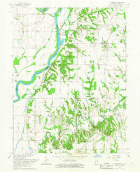
Other maps of this area

1932 · Marshall
USGS Topo · 1:62,500

1937 · Marshall
USGS Topo · 1:62,500

1940 · Pimento
USGS Topo · 1:24,000

1942 · Fairbanks
USGS Topo · 1:24,000

1942 · Shelburn
USGS Topo · 1:24,000

1942 · Hutton
USGS Topo · 1:24,000

1943 · Merom
USGS Topo · 1:24,000

1943 · Sullivan
USGS Topo · 1:24,000

1952 · Fairbanks
USGS Topo · 1:24,000

1952 · Shelburn
USGS Topo · 1:24,000