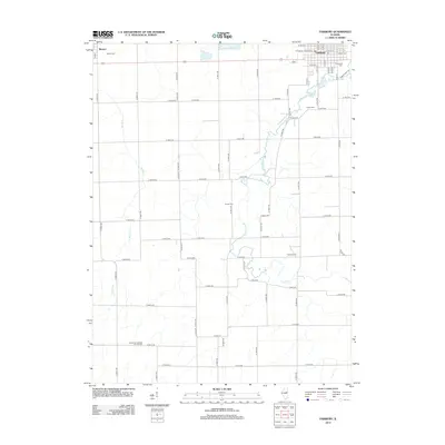
2012 Map of Fairbury
USGS Topo · Published 2012About this map
Fairbury serves as the primary hub for this Livingston County landscape, showing a dense grid of streets including W Locust St and S Clay St. The surrounding countryside is defined by a rigorous township-and-range road system, with rural life anchored by the Kilgus Dairy and the small settlement of Weston to the northwest. Significant genealogical landmarks are scattered throughout the agricultural tracts, including several well-preserved burial grounds such as Graceland Cem, Cooper Cem, and Spence Cem. To the southwest, the Immanuel Lutheran Church and its adjacent Immanuel Lutheran Church Cem stand as a focal point for the local community. The drainage of the prairie is marked by the meandering paths of Indian Cr and Rooks Cr, which cut through the rectilinear farm plots and county roads like Co RD-3570.
Find a feature on this map
79 named features on this map. Tap any name to fly to it.
Don’t see what you’re looking for? This feature index may not catch every label — zoom into the map to look around manually.
Map Details
Editions of this 2012 Fairbury Map
This is the sole edition of this map. No revisions or reprints were ever made.
Other maps of this area

1935 · Pontiac
USGS Topo · 1:62,500

1939 · Pontiac
USGS Topo · 1:62,500

1947 · Sibley
USGS Topo · 1:62,500

1947 · Cullom
USGS Topo · 1:62,500

1949 · Cullom
USGS Topo · 1:62,500

1949 · Sibley
USGS Topo · 1:62,500

1957 · Colfax
USGS Topo · 1:62,500

1958 · Peoria
USGS Topo · 1:250,000

1961 · Peoria
USGS Topo · 1:250,000

1963 · Peoria
USGS Topo · 1:250,000