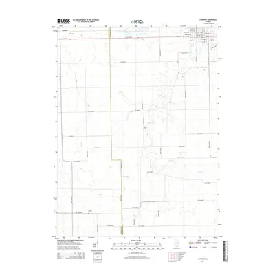
2015 Map of Fairbury
USGS Topo · Published 2015About this map
Fairbury and the village of Weston anchor this 2015 survey of the Illinois prairie. The landscape is defined by a rigorous grid of township and section roads, occasionally interrupted by the meandering courses of Indian Cr and Rooks Cr. For genealogists and local historians, the map provides precise locations for several rural burial sites, including Cooper Cem, Spence Cem, and the Immanuel Lutheran Church Cem situated near the southern border. The town of Fairbury shows a detailed street plan, including historical residential corridors like E Walnut St and W Maple St, as well as Graceland Cem on its eastern edge. The division between McLean Co and Livingston Co runs north-to-south, marking a political boundary in a region dominated by agricultural tracts and small-town settlement patterns.
Find a feature on this map
67 named features on this map. Tap any name to fly to it.
Don’t see what you’re looking for? This feature index may not catch every label — zoom into the map to look around manually.
Map Details
Editions of this 2015 Fairbury Map
This is the sole edition of this map. No revisions or reprints were ever made.
Other maps of this area

1935 · Pontiac
USGS Topo · 1:62,500

1939 · Pontiac
USGS Topo · 1:62,500

1947 · Sibley
USGS Topo · 1:62,500

1947 · Cullom
USGS Topo · 1:62,500

1949 · Cullom
USGS Topo · 1:62,500

1949 · Sibley
USGS Topo · 1:62,500

1957 · Colfax
USGS Topo · 1:62,500

1958 · Peoria
USGS Topo · 1:250,000

1961 · Peoria
USGS Topo · 1:250,000

1963 · Peoria
USGS Topo · 1:250,000