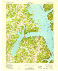
1955 Map of Fairdealing
USGS Topo · Published 1956About this map
Kentucky Lake and the Tennessee River dominate this mid-1950s landscape, illustrating the impact of the Tennessee Valley Authority on western Kentucky. The map documents a period of significant recreational development following the creation of the reservoir, highlighted by the presence of Cherokee State Park, the Four Rivers Boy Scout Reservation, and multiple lakeside facilities like the Jonathan Creek Cabin Area. Local transportation centers on the Jefferson Davis Highway, which crosses the water via the Eggner Ferry Bridge near Aurora. Away from the shoreline, the map reveals a deeply rooted rural community around Fairdealing, marked by family-named landmarks and institutions such as Pleasant Hope Church, Unity Sch, and numerous small cemeteries including the Collie Cem and Barnett Cem. A drive-in theater sits near the junction of major roads, capturing the mid-century social life of Marshall County.
Find a feature on this map
46 named features on this map. Tap any name to fly to it.
Don’t see what you’re looking for? This feature index may not catch every label — zoom into the map to look around manually.
Map Details
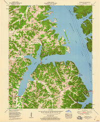
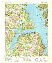
Editions of this 1955 Fairdealing Map
3 editions found
Other maps of this area

1936 · Mont
USGS Topo · 1:24,000

1936 · Fenton
USGS Topo · 1:24,000

1936 · Hardin
USGS Topo · 1:24,000

1936 · Hiatt
USGS Topo · 1:24,000

1936 · Benton
USGS Topo · 1:48,000

1936 · Birmingham
USGS Topo · 1:24,000

1936 · Golden Pond
USGS Topo · 1:48,000

1936 · Rushing
USGS Topo · 1:24,000

1936 · Dexter
USGS Topo · 1:24,000

1936 · Hico
USGS Topo · 1:24,000