Loading...
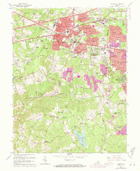
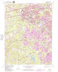
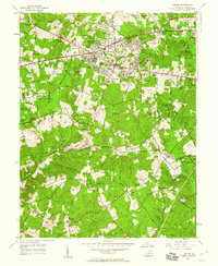
Loading map...1966 Map of Fairfax
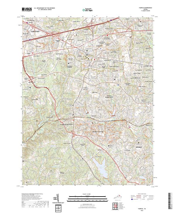
USGS Topo · Published 1971About this map
The Fairfax landscape of the mid-1960s reflects a county in rapid transition, with residential subdivisions like Fairfax Woods and Boulevard Estates expanding around the established civic core. Landmarks such as the Fairfax County Courthouse, Fairfax City Hall, and the expanding George Mason College campus anchor the northern half of the sheet. To the south, the terrain remains significantly more wooded and open, shaped by the waters of Rabbit Branch and the East Fork.
Find a feature on this map
133 named features on this map. Tap any name to fly to it.
Don’t see what you’re looking for? This feature index may not catch every label — zoom into the map to look around manually.
Map Details
Date Portrayed1966
Date Published1971
PublisherU.S. Geological Survey
Map TypeTopographic
Scale1:24,000
Physical Dimensions22 x 27 inches
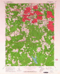
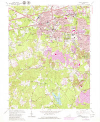
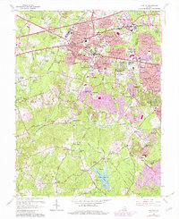
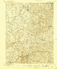
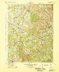
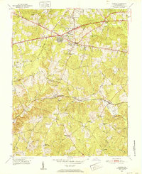
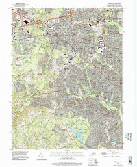
Editions of this 1966 Fairfax Map
5 editions found
Historical Maps of Burke Through Time
7 maps found
Featured Locations
Source Details
SourceU.S. Geological Survey
CopyrightPublic Domain