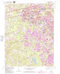
1966 Map of Fairfax
USGS Topo · Published 1984About this map
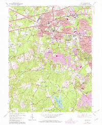
George Mason University serves as a modern anchor in this landscape of rapid suburban expansion during the mid-1960s and early 1980s. The map captures the transition of northern Virginia from a collection of rural crossroads and family-named corners into a dense residential network. Long-standing landmarks like the historic St Marys Ch and the remnants of the milling era at Robey Mill sit alongside newly developed neighborhoods like Mantua and Kings Park. The Southern railroad line cuts through the southern half of the sheet, connecting older hubs like Fairfax Station and Burke. Extensive recreational and institutional footprints are visible, from the Burke Lake County Park and the Army Navy Country Club to the specialized facilities of Prison Camp No 30. This period shows the emergence of Interstate 66 as it begins to define the northern transportation corridor, reshaping the older routes of Lee Highway and Ox Road.
Find a feature on this map
169 named features on this map. Tap any name to fly to it.
Don’t see what you’re looking for? This feature index may not catch every label — zoom into the map to look around manually.
Map Details
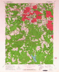
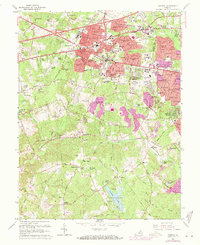
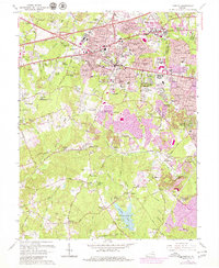
Editions of this 1966 Fairfax Map
5 editions found
Other maps of this area

1890 · Mt. Vernon
USGS Topo · 1:125,000

1891 · Mt. Vernon
USGS Topo · 1:125,000

1894 · Mt. Vernon
USGS Topo · 1:125,000

1897 · Mt. Vernon
USGS Topo · 1:125,000

1900 · Washington
USGS Topo · 1:62,500

1913 · Indian Head
USGS Topo · 1:62,500

1915 · Fairfax
USGS Topo · 1:62,500

1923 · Indian Head
USGS Topo · 1:48,000

1925 · Indian Head
USGS Topo · 1:62,500

1927 · Quantico
USGS Topo · 1:62,500