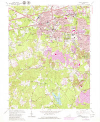
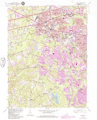
1966 Map of Fairfax
USGS Topo · Published 1980About this map
Fairfax and its surrounding northern Virginia landscape are captured here during a period of significant suburban expansion, evidenced by the purple-tinted urban extensions. The downtown core, anchored by the Fairfax Co Courthouse and City Hall, transitions into a dense network of residential developments like Lord Fairfax Estates and Greenway Hills. To the south, the Southern Railway corridor links established points like Fairfax Station and Burke, while the fledgling campus of George Mason University stands as a new institutional landmark.
Find a feature on this map
173 named features on this map. Tap any name to fly to it.
Don’t see what you’re looking for? This feature index may not catch every label — zoom into the map to look around manually.
Map Details
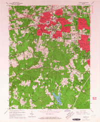
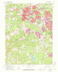
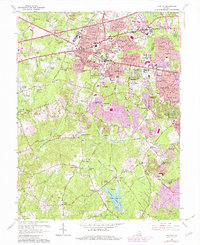
Editions of this 1966 Fairfax Map
5 editions found
Other maps of this area

1890 · Mt. Vernon
USGS Topo · 1:125,000

1891 · Mt. Vernon
USGS Topo · 1:125,000

1894 · Mt. Vernon
USGS Topo · 1:125,000

1897 · Mt. Vernon
USGS Topo · 1:125,000

1900 · Washington
USGS Topo · 1:62,500

1913 · Indian Head
USGS Topo · 1:62,500

1915 · Fairfax
USGS Topo · 1:62,500

1923 · Indian Head
USGS Topo · 1:48,000

1925 · Indian Head
USGS Topo · 1:62,500

1927 · Quantico
USGS Topo · 1:62,500