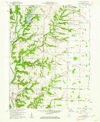
1960 Map of Fairfield
USGS Topo · Published 1962About this map
The East Fork Whitewater River carves a deep valley through this agricultural landscape on the Indiana-Ohio border, defining the settlement patterns of Union and Franklin counties. The river corridor is a focal point of local infrastructure, featuring a Covered Bridge near Fairfield and the expansive Whitewater State Park Lake to the north. These water-driven landscapes contrast with the rigid grid of the surrounding uplands, where roads like Velocipede Pike and the Baltimore and Ohio railroad connect dispersed hamlets.
Find a feature on this map
86 named features on this map. Tap any name to fly to it.
Don’t see what you’re looking for? This feature index may not catch every label — zoom into the map to look around manually.
Map Details
Editions of this 1960 Fairfield Map
2 editions found
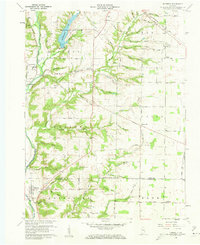
Other maps of this area
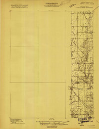
1915 · College Corner
USGS Topo · 1:48,000
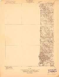
1915 · Harrison
USGS Topo · 1:48,000
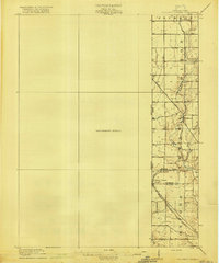
1918 · College Corner
USGS Topo · 1:62,500
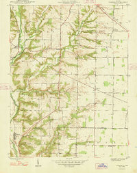
1948 · Fairfield
USGS Topo · 1:24,000

1953 · Cincinnati
USGS Topo · 1:250,000
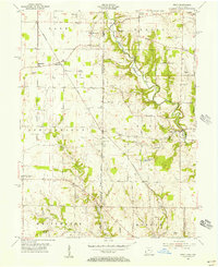
1955 · Reily
USGS Topo · 1:24,000
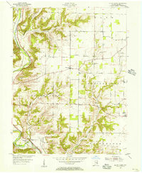
1955 · Mount Carmel
USGS Topo · 1:24,000
1956 · Everton
USGS Topo · 1:24,000
1956 · Brownsville
USGS Topo · 1:24,000
1956 · Brookville
USGS Topo · 1:24,000