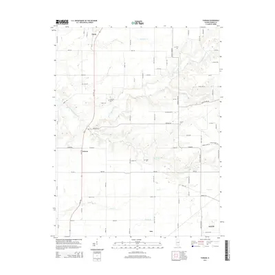
2015 Map of Fairman
USGS Topo · Published 2015About this map
The East Fork Kaskaskia River snakes through this Marion County landscape, defining the local drainage patterns as it flows near the small community of Fairman. The region is marked by a network of rural roads such as Ferrydale Rd and Ticklen Rd, which connect several legacy burial sites including Cruse Cem, Harrison Cem, and Carrigan Cem. These sites, along with others like Cubbage Chapel Cem, provide essential anchor points for genealogists tracing family roots in the areas between Patoka and Odin. The terrain transitions from the river's winding path to the edges of Salem in the southeast, where Lost Cr and Prairie Cr cross the plains. This 2015 survey reflects a classic Midwestern agricultural and rural settlement pattern, preserving the location of local landmarks and watercourses like Davidson Cr and Jims Cr.
Find a feature on this map
65 named features on this map. Tap any name to fly to it.
Don’t see what you’re looking for? This feature index may not catch every label — zoom into the map to look around manually.
Map Details
Editions of this 2015 Fairman Map
This is the sole edition of this map. No revisions or reprints were ever made.
Other maps of this area

1914 · Centralia
USGS Topo · 1:62,500

1934 · Salem
USGS Topo · 1:62,500

1935 · Centralia
USGS Topo · 1:62,500

1938 · Salem
USGS Topo · 1:62,500

1945 · Kinmundy
USGS Topo · 1:62,500

1945 · Vandalia
USGS Topo · 1:62,500

1947 · Vandalia
USGS Topo · 1:62,500

1947 · Kinmundy
USGS Topo · 1:62,500

1958 · Belleville
USGS Topo · 1:250,000

1962 · Belleville
USGS Topo · 1:250,000