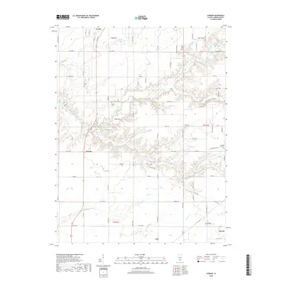
2018 Map of Fairman
USGS Topo · Published 2018About this map
The East Fork Kaskaskia River carves a deep, winding path through this central Illinois landscape, defining the topography between the small settlements of Patoka and Fairman. The map reveals a high density of rural cemeteries, including Harrison Cem, Lewis Cem, and Crose Cem, which serve as vital markers for genealogical research in Marion County. To the southeast, the landscape transitions toward the outskirts of Odin and Salem, showing the intersection of local routes like Co Hwy 14 and Co Hwy 5. The drainage network is particularly detailed, with numerous tributaries such as Louse Run, Davidson Cr, and Lost Cr feeding into the river system. This survey provides a clear view of the rural road grid and the persistent agrarian and small-town structure of the region in the late 2010s.
Find a feature on this map
72 named features on this map. Tap any name to fly to it.
Don’t see what you’re looking for? This feature index may not catch every label — zoom into the map to look around manually.
Map Details
Editions of this 2018 Fairman Map
This is the sole edition of this map. No revisions or reprints were ever made.
Other maps of this area

1914 · Centralia
USGS Topo · 1:62,500

1934 · Salem
USGS Topo · 1:62,500

1935 · Centralia
USGS Topo · 1:62,500

1938 · Salem
USGS Topo · 1:62,500

1945 · Kinmundy
USGS Topo · 1:62,500

1945 · Vandalia
USGS Topo · 1:62,500

1947 · Vandalia
USGS Topo · 1:62,500

1947 · Kinmundy
USGS Topo · 1:62,500

1958 · Belleville
USGS Topo · 1:250,000

1962 · Belleville
USGS Topo · 1:250,000