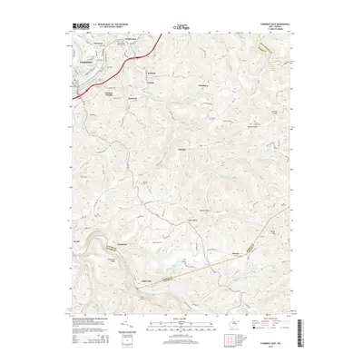
2014 Map of Fairmont East
USGS Topo · Published 2014About this map
Valley Falls and the surrounding river valleys define this 2014 survey, where the Tygart Valley River meets a network of steep hollows and ridges. The map documents the eastern reaches of Fairmont, extending through several family-named settlements like Winfield, Canton, and Graham Heights. For those tracing local genealogy, numerous burial sites are precisely located, including Maple Grove Cem, Vincent Cem, and the Meadowdale Wesleyan Cem near the northern boundary.
Find a feature on this map
143 named features on this map. Tap any name to fly to it.
Don’t see what you’re looking for? This feature index may not catch every label — zoom into the map to look around manually.
Map Details
Editions of this 2014 Fairmont East Map
This is the sole edition of this map. No revisions or reprints were ever made.
Other maps of this area

1886 · St. George
USGS Topo · 1:125,000

1891 · St. George
USGS Topo · 1:125,000
1902 · Fairmont
USGS Topo · 1:62,500

1902 · Morgantown
USGS Topo · 1:62,500

1904 · Blacksville
USGS Topo · 1:62,500
1907 · Thornton
USGS Topo · 1:62,500
1923 · Blacksville
USGS Topo · 1:62,500
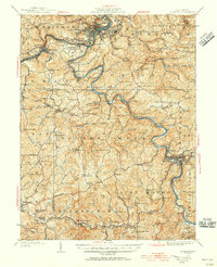
1923 · Fairmont
USGS Topo · 1:62,500
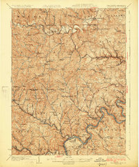
1925 · Blacksville
USGS Topo · 1:62,500

1925 · Morgantown
USGS Topo · 1:62,500