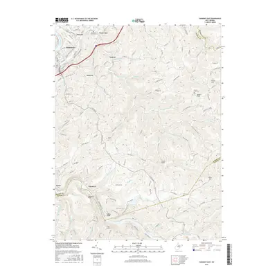
2016 Map of Fairmont East
USGS Topo · Published 2016About this map
The Monongahela River and Tygart Valley River systems anchor this study of the Marion County landscape, where the eastern edges of Fairmont give way to a network of upland ridges and creek bottoms. The geography is defined by narrow valleys and significant relief, with prominent landmarks such as Kincaid Knob and the Fall Hills overlooking the winding watercourses of Prickett Cr and Glady Cr.
Find a feature on this map
86 named features on this map. Tap any name to fly to it.
Don’t see what you’re looking for? This feature index may not catch every label — zoom into the map to look around manually.
Map Details
Editions of this 2016 Fairmont East Map
This is the sole edition of this map. No revisions or reprints were ever made.
Other maps of this area

1886 · St. George
USGS Topo · 1:125,000

1891 · St. George
USGS Topo · 1:125,000

1902 · Fairmont
USGS Topo · 1:62,500

1902 · Morgantown
USGS Topo · 1:62,500

1904 · Blacksville
USGS Topo · 1:62,500

1907 · Thornton
USGS Topo · 1:62,500

1923 · Blacksville
USGS Topo · 1:62,500

1923 · Fairmont
USGS Topo · 1:62,500

1925 · Blacksville
USGS Topo · 1:62,500

1925 · Morgantown
USGS Topo · 1:62,500