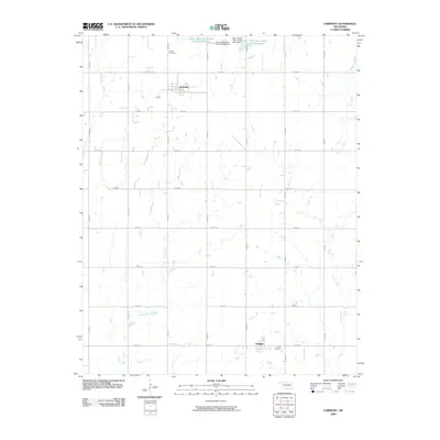
2009 Map of Fairmont
USGS Topo · Published 2009About this map
Fairmont and Douglas anchor this section of Garfield County, Oklahoma, in a landscape defined by an orderly grid of county roads and numerous watercourses. The drainage patterns of Bitter Creek, Otter Creek, and Wolf Creek weave through the agricultural sections, illustrating the natural geography that dictates local land use. In the northern reaches, the Upper Black Bear Creek Site 35 Reservoir and Upper Black Bear Creek Site 36 Reservoir represent significant water management infrastructure, each supported by its respective Upper Black Bear Creek Site 35 Dam and Site 36 Dam. Genealogists and local historians will find the locations of Collett Cemetery near the northern border and Union Cemetery south of Douglas valuable for tracing family ties in this rural prairie community.
Find a feature on this map
29 named features on this map. Tap any name to fly to it.
Don’t see what you’re looking for? This feature index may not catch every label — zoom into the map to look around manually.
Map Details
Editions of this 2009 Fairmont Map
This is the sole edition of this map. No revisions or reprints were ever made.
Other maps of this area

1893 · Lovell
USGS Topo · 1:62,500

1893 · Hennessey
USGS Topo · 1:62,500

1955 · Enid East
USGS Topo · 1:24,000

1955 · Enid
USGS Topo · 1:250,000

1956 · Garber
USGS Topo · 1:62,500

1956 · Hennessey
USGS Topo · 1:62,500

1956 · Enid
USGS Topo · 1:62,500

1958 · Enid
USGS Topo · 1:250,000

1974 · Marshall West
USGS Topo · 1:24,000

1974 · Marshall East
USGS Topo · 1:24,000