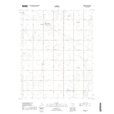
2018 Map of Fairmont
USGS Topo · Published 2018About this map
Fairmont and Douglas anchor this section of Garfield County, Oklahoma, where the prairie is etched by a complex network of sections and reservoirs. The landscape is defined by the headwaters of several drainages, including Bitter Cr and Wolf Cr, which feed into various conservation structures like the Upper Black Bear Cr Site 35 Reservoir. For family historians, several burial grounds are located along the section-line roads, including Collett Cem north of Fairmont and Union Cem near Douglas. The northeastern portion of the quadrangle is marked by Fairmont Field, indicating local industrial land use. This survey illustrates how the rigid Public Land Survey System grid of townships and ranges—spanning t22n r5w and t21n r4w—interacts with the meandering paths of Crow Creek and Otter Cr.
Find a feature on this map
65 named features on this map. Tap any name to fly to it.
Don’t see what you’re looking for? This feature index may not catch every label — zoom into the map to look around manually.
Map Details
Editions of this 2018 Fairmont Map
This is the sole edition of this map. No revisions or reprints were ever made.
Other maps of this area

1893 · Lovell
USGS Topo · 1:62,500

1893 · Hennessey
USGS Topo · 1:62,500

1955 · Enid East
USGS Topo · 1:24,000

1955 · Enid
USGS Topo · 1:250,000

1956 · Garber
USGS Topo · 1:62,500

1956 · Hennessey
USGS Topo · 1:62,500

1956 · Enid
USGS Topo · 1:62,500

1958 · Enid
USGS Topo · 1:250,000

1974 · Marshall West
USGS Topo · 1:24,000

1974 · Marshall East
USGS Topo · 1:24,000