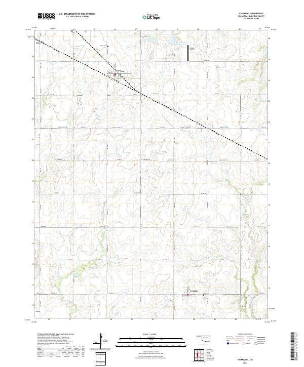
2022 Map of Fairmont
USGS Topo · Published 2022About this map
The small grain-handling communities of Fairmont and Douglas anchor this Garfield County landscape, characterized by the precise grid of the Public Land Survey System. This agricultural corridor is defined by the headwaters of several drainages, including Bitter Cr and Crow Cr, which cut through the surrounding wheat fields. Local genealogy is well-preserved through several established burial grounds such as Union Cem near Douglas, Collett Cem to the north, and Zion Cem in the northwest corner of the quadrangle.
Find a feature on this map
65 named features on this map. Tap any name to fly to it.
Don’t see what you’re looking for? This feature index may not catch every label — zoom into the map to look around manually.
Map Details
Editions of this 2022 Fairmont Map
This is the sole edition of this map. No revisions or reprints were ever made.
Other maps of this area

1893 · Lovell
USGS Topo · 1:62,500

1893 · Hennessey
USGS Topo · 1:62,500

1955 · Enid East
USGS Topo · 1:24,000

1955 · Enid
USGS Topo · 1:250,000

1956 · Garber
USGS Topo · 1:62,500

1956 · Hennessey
USGS Topo · 1:62,500

1956 · Enid
USGS Topo · 1:62,500

1958 · Enid
USGS Topo · 1:250,000

1974 · Marshall West
USGS Topo · 1:24,000

1974 · Marshall East
USGS Topo · 1:24,000