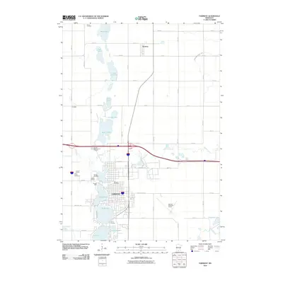
1967 Map of Fairmont
USGS Topo · Published 1979About this map
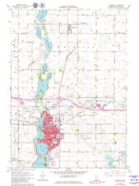
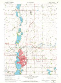
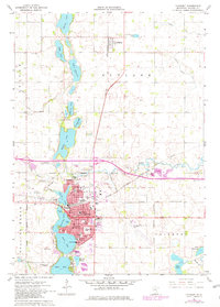
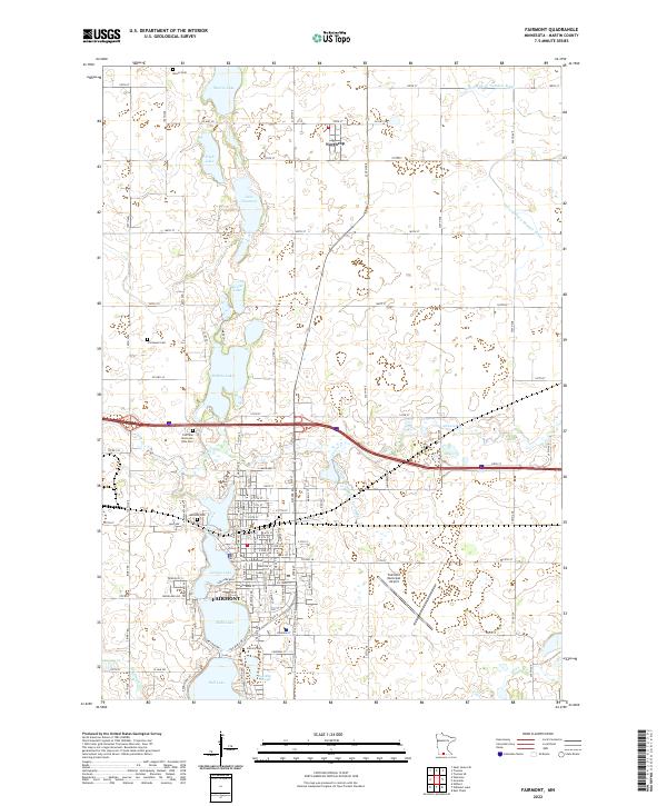
Fairmont serves as a significant hub for southern Minnesota agriculture and transportation, anchored by a series of interconnected glacial lakes including Budd Lake and Sisseton Lake. By the late 1960s, the city's infrastructure reflects a robust local economy, with the Chicago and North Western and Chicago Milwaukee St Paul and Pacific railroads facilitating movement through the grain-producing region. Educational and religious institutions are well-established, shown by the presence of the St Paul Sch, St John Sch, and Budd Sch. To the north, the small settlement of Northrop stands out amidst a landscape punctuated by several Gravel Pits, while the local entertainment culture is represented by the Drive-in Theater near the city center. This survey captures a moment of modern transition, where traditional lakeside parks like Sylvania Park coexist with contemporary developments such as the Fairmont Municipal Airport.
Find a feature on this map
60 named features on this map. Tap any name to fly to it.
Don’t see what you’re looking for? This feature index may not catch every label — zoom into the map to look around manually.
Map Details
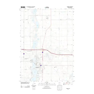
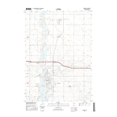
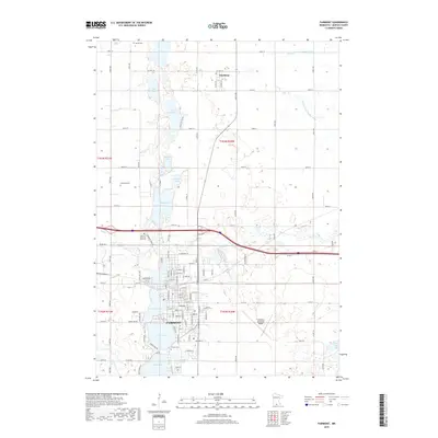
Editions of this 1967 Fairmont Map
3 editions found
Historical Maps of Fairmont Through Time
10 maps found
1954 Fairmont
Martin County, MN

1958 Fairmont
Martin County, MN
1967 Fairmont
Martin County, MN

1985 Fairmont
Martin County, MN

1992 Fairmont
Martin County, MN
2010 Fairmont
Martin County, MN
2013 Fairmont
Martin County, MN
2016 Fairmont
Martin County, MN
2019 Fairmont
Martin County, MN
2022 Fairmont
Martin County, MN