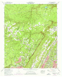
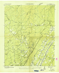
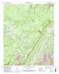
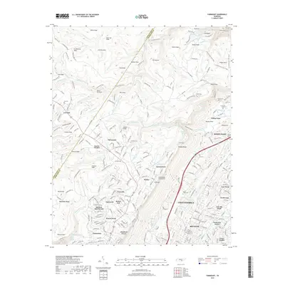
1969 Map of Fairmount
USGS Topo · Published 1977About this map
The Walden Escarpment dominates this landscape, creating a sharp geological divide between the plateau communities of Lone Oak and Fairmount and the expanding suburbs of Chattanooga below. In the late 1960s, the plateau remained a site of active resource extraction, as evidenced by numerous strip mines and quarries scattered near Chestnut Ridge. Transportation across this challenging terrain is marked by the steep, winding W Road and the Williams Howard Taft Highway. Local heritage is preserved in several family-named cemeteries such as Hall Cem and Vandergriff Cem, and established centers of worship like Sequatchie Chapel and Mt Carmel Ch. The rise of communications infrastructure is also apparent, with a cluster of radio and TV towers concentrated near the heights of Signal Mountain.
Find a feature on this map
115 named features on this map. Tap any name to fly to it.
Don’t see what you’re looking for? This feature index may not catch every label — zoom into the map to look around manually.
Map Details
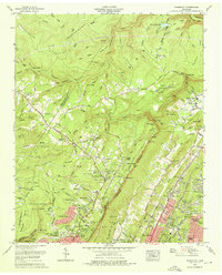
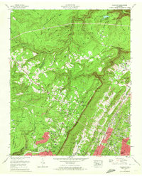
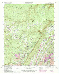
Editions of this 1969 Fairmount Map
5 editions found
Historical Maps of Chattanooga Through Time
10 maps found
1936 Fairmount
Hamilton County, TN
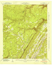
1945 Fairmount
Hamilton County, TN
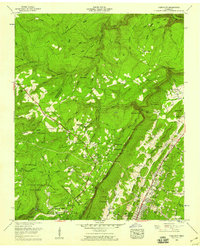
1946 Fairmount
Hamilton County, TN
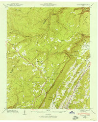
1958 Fairmount
Hamilton County, TN
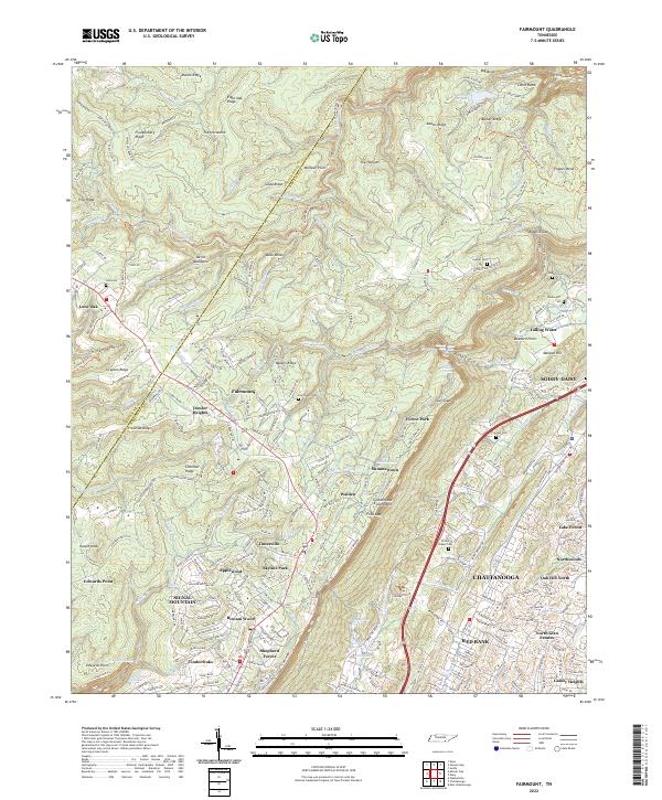
1969 Fairmount
Hamilton County, TN
2010 Fairmount
Hamilton County, TN
2013 Fairmount
Hamilton County, TN
2016 Fairmount
Hamilton County, TN
2019 Fairmount
Hamilton County, TN
2022 Fairmount
Hamilton County, TN