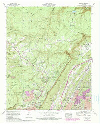
1969 Map of Fairmount
USGS Topo · Published 1990About this map
Walden Ridge and the dramatic Cumberland Escarpment dominate this 1969 topographic study, where the highland plateau drops sharply toward the suburbs of Chattanooga. The map documents a landscape in transition, where established rural communities like Fairmount and Lone Oak meet the expanding urban footprints of Signal Mountain and Red Bank. Transportation history is etched into the terrain via the winding Taft Highway and the serpentine descent known as The W, while industrial marks are visible through numerous strip mines and the Lewis Hollow Quarry. Genealogy interests are well-served by numerous family-named landmarks and burial grounds, including Sawyer Cem, Vandergriff Cem, and Roberts Cem. The map also highlights the area's mid-century communication infrastructure, noting several prominent radio and television towers concentrated along the ridge heights.
Find a feature on this map
140 named features on this map. Tap any name to fly to it.
Don’t see what you’re looking for? This feature index may not catch every label — zoom into the map to look around manually.
Map Details
Editions of this 1969 Fairmount Map
5 editions found
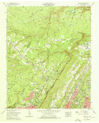

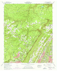
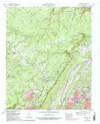
Other maps of this area

1888 · Chattanooga
USGS Topo · 1:125,000

1893 · Chattanooga
USGS Topo · 1:125,000

1935 · East Chattanooga
USGS Topo · 1:24,000

1935 · Daisy
USGS Topo · 1:24,000

1935 · Soddy
USGS Topo · 1:24,000

1936 · Daus
USGS Topo · 1:24,000

1936 · Henson Gap
USGS Topo · 1:24,000

1936 · Ketner Gap
USGS Topo · 1:24,000

1936 · Fairmount
USGS Topo · 1:24,000

1936 · Wauhatchie
USGS Topo · 1:24,000