
1969 Map of Fairmount
USGS Topo · Published 1976About this map
The Cumberland Escarpment dominates this 1969 topographic study, where the plateau drops sharply toward the suburbs of Chattanooga. On the high ground, communities like Fairmount and Lone Oak are defined by a mix of residential growth and long-standing landmarks, including Fairmount Sch and several country churches such as Mt Carmel Ch and Wayside Ch. The map captures a period of significant telecommunications expansion, evidenced by the cluster of transmission facilities on the ridge, including the TV tower (WTVC) and TV tower (WRCB).
Find a feature on this map
80 named features on this map. Tap any name to fly to it.
Don’t see what you’re looking for? This feature index may not catch every label — zoom into the map to look around manually.
Map Details
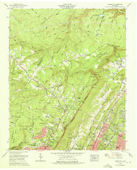
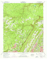
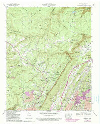
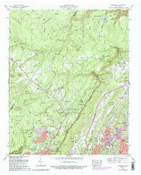
Editions of this 1969 Fairmount Map
5 editions found
Other maps of this area

1888 · Chattanooga
USGS Topo · 1:125,000

1893 · Chattanooga
USGS Topo · 1:125,000

1935 · East Chattanooga
USGS Topo · 1:24,000

1935 · Daisy
USGS Topo · 1:24,000

1935 · Soddy
USGS Topo · 1:24,000

1936 · Daus
USGS Topo · 1:24,000

1936 · Henson Gap
USGS Topo · 1:24,000

1936 · Ketner Gap
USGS Topo · 1:24,000

1936 · Fairmount
USGS Topo · 1:24,000

1936 · Wauhatchie
USGS Topo · 1:24,000