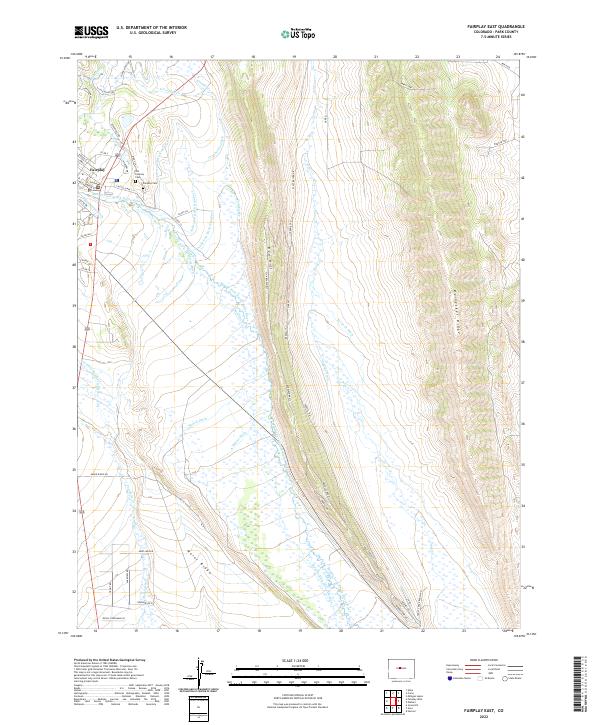
2022 Map of Fairplay East
USGS Topo · Published 2022About this map
Fairplay anchors the northwestern corner of this landscape, serving as a gateway to an intricate network of water management systems essential to the high-altitude South Park basin. The Middle Fork South Platte River flows through the area, flanked by prominent topographic features such as Red Hill and Reinecker Ridge. For those tracing local heritage, both the Old Fairplay Cem and the Fairplay Cem are clearly marked near the town site.
Find a feature on this map
69 named features on this map. Tap any name to fly to it.
Don’t see what you’re looking for? This feature index may not catch every label — zoom into the map to look around manually.
Map Details
Editions of this 2022 Fairplay East Map
This is the sole edition of this map. No revisions or reprints were ever made.
Other maps of this area

1889 · Leadville
USGS Topo · 1:125,000

1891 · Leadville
USGS Topo · 1:125,000

1934 · Climax
USGS Topo · 1:48,000

1937 · Como
USGS Topo · 1:62,500

1938 · Mt. Lincoln
USGS Topo · 1:48,000

1942 · Leadville
USGS Topo · 1:125,000

1945 · Mount Lincoln
USGS Topo · 1:62,500

1953 · Denver
USGS Topo · 1:250,000

1956 · Elkhorn
USGS Topo · 1:24,000

1956 · Garo
USGS Topo · 1:24,000