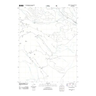
2011 Map of Fairplay West
USGS Topo · Published 2011About this map
Mining operations and hydraulic water systems dominate the high-altitude landscape west of Fairplay in this 2011 record of Park County. The concentration of legacy claims near Little Sacramento Gulch including the Freedom Mine, Little Nellie Mine, and Sitting Bull Mine points to a dense history of extraction. The presence of the Duguesne Smelter and the Platte River Placers Mine illustrates the industrial evolution of the South Platte headwaters, where a complex network of ditches like the Fairplay Mining Ditch and Sacramento Ditch diverted water for processing ore. Higher elevations are marked by remote settlements and camps such as Mullenville and Almgren Tie Camp, accessible via Timberline Trl and various county roads. The drainage patterns of Sacramento Creek and Fourmile Creek dictate the local geography, connecting peaks like Sheep Mountain to the high mountain passes of Browns Pass and Breakneck Pass.
Find a feature on this map
83 named features on this map. Tap any name to fly to it.
Don’t see what you’re looking for? This feature index may not catch every label — zoom into the map to look around manually.
Map Details
Editions of this 2011 Fairplay West Map
This is the sole edition of this map. No revisions or reprints were ever made.
Other maps of this area

1889 · Leadville
USGS Topo · 1:125,000

1891 · Leadville
USGS Topo · 1:125,000

1934 · Climax
USGS Topo · 1:48,000

1937 · Como
USGS Topo · 1:62,500

1938 · Mt. Lincoln
USGS Topo · 1:48,000

1942 · Leadville
USGS Topo · 1:125,000

1945 · Mount Lincoln
USGS Topo · 1:62,500

1953 · Denver
USGS Topo · 1:250,000

1956 · Garo
USGS Topo · 1:24,000

1956 · Fairplay East
USGS Topo · 1:24,000