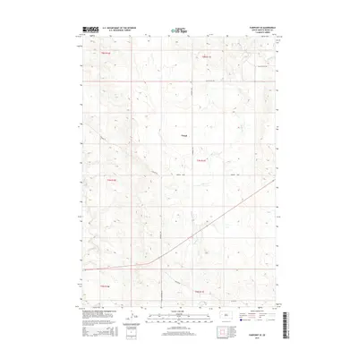
2015 Map of Fairpoint SE
USGS Topo · Published 2015About this map
Clough sits as a central landmark in this high plains landscape of western South Dakota, characterized by a complex network of seasonal drainage and prairie roads. The hydrology of the area is defined by the winding paths of E Elm Cr and Elm Cr, which cut through the undulating terrain. These waterways are mirrored by a surveyed grid of rural transportation routes that facilitate movement across the open country.
Find a feature on this map
15 named features on this map. Tap any name to fly to it.
Don’t see what you’re looking for? This feature index may not catch every label — zoom into the map to look around manually.
Map Details
Editions of this 2015 Fairpoint SE Map
This is the sole edition of this map. No revisions or reprints were ever made.
Other maps of this area

1953 · Hereford
USGS Topo · 1:24,000

1953 · Hereford NE
USGS Topo · 1:24,000

1953 · Rapid City
USGS Topo · 1:250,000

1954 · Haydraw
USGS Topo · 1:24,000

1957 · Rapid City
USGS Topo · 1:250,000

1959 · Fairpoint
USGS Topo · 1:24,000

1959 · Fairpoint SW
USGS Topo · 1:24,000

1959 · Stoneville
USGS Topo · 1:24,000

1959 · Union Center
USGS Topo · 1:24,000

1959 · Fairpoint NW
USGS Topo · 1:24,000